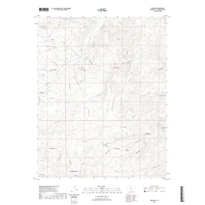
2019 Map of Delagua
USGS Topo · Published 2019About this map
The Apishapa River cuts through this high-altitude landscape of Las Animas County, where deep canyons and flat mesas define the topography. Small settlements like Gulnare and Delagua are positioned near these watercourses and canyons, reflecting the historical importance of access to water in the high plains. The map records several legacy sites for genealogists, including the Trujillo Creek Cem and Albertson Cem, which sit alongside historic ranch roads and trails like Trujillo Creek Ranch Rd.
Find a feature on this map
61 named features on this map. Tap any name to fly to it.
Don’t see what you’re looking for? This feature index may not catch every label — zoom into the map to look around manually.
Map Details
Editions of this 2019 Delagua Map
This is the sole edition of this map. No revisions or reprints were ever made.
Other maps of this area

1891 · Spanish Peaks
USGS Topo · 1:125,000

1893 · Spanish Peaks
USGS Topo · 1:125,000

1895 · Spanish Peaks
USGS Topo · 1:125,000

1897 · Spanish Peaks
USGS Topo · 1:125,000

1900 · Spanish Peaks
USGS Topo · 1:125,000

1951 · Trinidad
USGS Topo · 1:24,000

1951 · Madrid
USGS Topo · 1:24,000

1954 · Trinidad
USGS Topo · 1:250,000

1955 · Trinidad
USGS Topo · 1:250,000

1958 · Trinidad
USGS Topo · 1:250,000