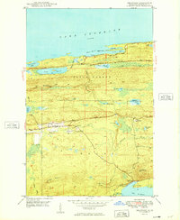
1949 Map of Delaware
USGS Topo · Published 1949About this map
Lake Superior dominates the northern horizon of this Keweenaw Peninsula survey, where the dramatic ridge of Brockway Mountain rises sharply above the coastline. In the interior, the small settlements of Delaware and Mandan sit along the upper reaches of the Montreal River, marking nodes of human activity in an otherwise high-relief landscape. The topography is defined by prominent peaks like Mt Lookout and Mt Bohemia, with drainage patterns flowing toward either the Great Lake to the north or Lac La Belle in the southeast. This 1940s mapping reflects a period when the Brockway Mountain Drive provided access to spectacular overlooks such as Agate Point, while the surrounding terrain remained largely characterized by dense networks of creeks like Silver Creek and Upson Creek feeding numerous inland waters, including Lake Bailey and Lake Upson.
Find a feature on this map
33 named features on this map. Tap any name to fly to it.
Don’t see what you’re looking for? This feature index may not catch every label — zoom into the map to look around manually.
Map Details
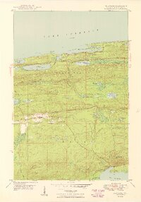
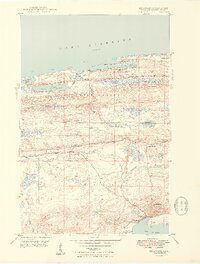
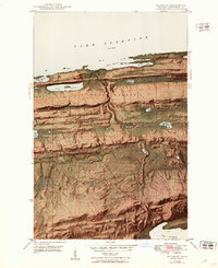
Editions of this 1949 Delaware Map
4 editions found
Other maps of this area

1927 · Point Isabelle
USGS Topo · 1:31,680

1938 · Bruneau Creek
USGS Topo · 1:31,680

1938 · Delaware
USGS Topo · 1:31,680

1939 · Deer Lake
USGS Topo · 1:31,680

1939 · Delaware
USGS Topo · 1:31,680

1940 · Deer Lake
USGS Topo · 1:31,680

1940 · Central
USGS Topo · 1:31,680

1940 · Lake Medora
USGS Topo · 1:31,680

1946 · Bruneau Creek
USGS Topo · 1:24,000

1946 · Eagle Harbor
USGS Topo · 1:24,000