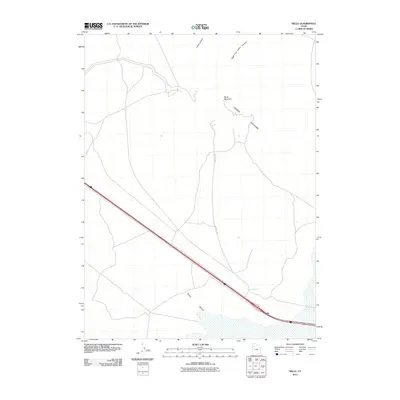
2011 Map of Delle
USGS Topo · Published 2011About this map
The settlement of Delle serves as a primary point of reference in this arid basin landscape, positioned at the edge of the expansive Skull Valley. The topography is dominated by the northern reaches of the Lakeside Mountains, where prominent peaks like Black Mountain overlook the surrounding flats. To the north, the terrain transitions into a series of drainage systems, including Craner Canyon and the Right Fork Carter Canyon. The transportation network is anchored by a significant thoroughfare and its accompanying Frontage Rd, which provide the primary access through this sparsely populated section of Tooele County. This map documents a transitional zone between the rugged mountain slopes and the wide salt flats, showing the established infrastructure that supports travel across the Great Salt Lake Desert region.
Find a feature on this map
7 named features on this map. Tap any name to fly to it.
Don’t see what you’re looking for? This feature index may not catch every label — zoom into the map to look around manually.
Map Details
Editions of this 2011 Delle Map
This is the sole edition of this map. No revisions or reprints were ever made.
Other maps of this area

1885 · Tooele Valley
USGS Topo · 1:250,000

1953 · Tooele
USGS Topo · 1:250,000

1955 · Timpie
USGS Topo · 1:62,500

1955 · Tooele
USGS Topo · 1:250,000

1968 · Poverty Point
USGS Topo · 1:24,000

1968 · Badger Island NW
USGS Topo · 1:24,000

1968 · Craner Peak
USGS Topo · 1:24,000

1973 · Delle
USGS Topo · 1:24,000

1973 · Hastings Pass NE
USGS Topo · 1:24,000

1973 · Low
USGS Topo · 1:24,000