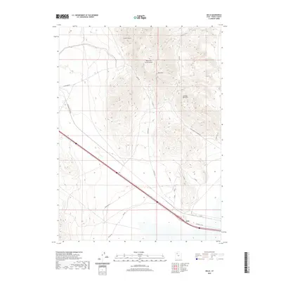
2020 Map of Delle
USGS Topo · Published 2020About this map
Delle serves as a lone point of interest along the modern transit corridor that slices through the high desert of Tooele County. This arid landscape is dominated by the Lakeside Mountains and prominent peaks like Black Mtn. The topography is defined by significant drainages such as Craner Canyon and Carter Canyon, which reveal the deep folds of the desert terrain. Historic transportation routes are visible across the valley floor, including the long stretch of the Western Pacific RR Rd and a network of specialized access paths like Skunk Ridge Rd and Poverty Point Rd. These names hint at the hard-won livestock and mineral heritage of the region, where roads like Old Nag Rd and Black Mountain Resource Rd were essential for navigating the complex slopes above the Great Salt Lake desert.
Find a feature on this map
25 named features on this map. Tap any name to fly to it.
Don’t see what you’re looking for? This feature index may not catch every label — zoom into the map to look around manually.
Map Details
Editions of this 2020 Delle Map
This is the sole edition of this map. No revisions or reprints were ever made.
Other maps of this area

1885 · Tooele Valley
USGS Topo · 1:250,000

1953 · Tooele
USGS Topo · 1:250,000

1955 · Timpie
USGS Topo · 1:62,500

1955 · Tooele
USGS Topo · 1:250,000

1968 · Poverty Point
USGS Topo · 1:24,000

1968 · Badger Island NW
USGS Topo · 1:24,000

1968 · Craner Peak
USGS Topo · 1:24,000

1973 · Delle
USGS Topo · 1:24,000

1973 · Hastings Pass NE
USGS Topo · 1:24,000

1973 · Low
USGS Topo · 1:24,000