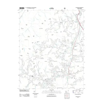
2011 Map of Dellwood
USGS Topo · Published 2011About this map
Maggie Valley and Dellwood anchor the southern valleys of this Haywood County landscape, where deep coves and high ridges shape the community layout. The terrain is defined by the Cataloochee Divide and a series of prominent peaks including North Eaglenest Mountain and Trit Knob. This map reveals a complex network of residential development winding through family-named coves like Germany Cove, Sugar Cove, and Jaynes Cove. For genealogists and local historians, several small burial sites are documented across the hillsides, including the Owen Cemetery, Leatherwood Cemetery, and Moody Cemetery. The drainage patterns of Jonathans Creek and its many tributaries, such as Hemphill Creek and Cove Creek, illustrate how water access dictated the placement of settlements like Jonathan and Suttontown during the area's development.
Find a feature on this map
240 named features on this map. Tap any name to fly to it.
Don’t see what you’re looking for? This feature index may not catch every label — zoom into the map to look around manually.
Map Details
Editions of this 2011 Dellwood Map
This is the sole edition of this map. No revisions or reprints were ever made.
Other maps of this area

1891 · Cowee
USGS Topo · 1:125,000

1893 · Mt Guyot
USGS Topo · 1:125,000

1894 · Asheville
USGS Topo · 1:125,000

1897 · Cowee
USGS Topo · 1:125,000

1901 · Asheville
USGS Topo · 1:125,000

1905 · Pisgah
USGS Topo · 1:125,000

1906 · Pisgah
USGS Topo · 1:125,000

1907 · Cowee
USGS Topo · 1:125,000

1912 · Mt Guyot
USGS Topo · 1:125,000

1935 · Waynesville
USGS Topo · 1:24,000