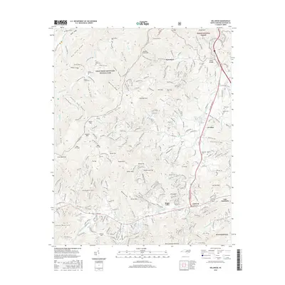
2016 Map of Dellwood
USGS Topo · Published 2016About this map
Great Smoky Mountains National Park and Pisgah National Forest converge on this terrain in Haywood County, where steep ridges like Cataloochee Divide and Snake Ridge separate the valleys of Caldwell Fork and Cove Creek. The map documents a deeply vertical landscape punctuated by dozens of family-named peaks and coves, including Purchase Knob, Walker Bald, and Germany Cove. Settlement is concentrated along the southern and eastern corridors, particularly at the crossroads of Dellwood, Maggie Valley, and the northern edge of Waynesville.
Find a feature on this map
157 named features on this map. Tap any name to fly to it.
Don’t see what you’re looking for? This feature index may not catch every label — zoom into the map to look around manually.
Map Details
Editions of this 2016 Dellwood Map
This is the sole edition of this map. No revisions or reprints were ever made.
Other maps of this area

1891 · Cowee
USGS Topo · 1:125,000

1893 · Mt Guyot
USGS Topo · 1:125,000

1894 · Asheville
USGS Topo · 1:125,000

1897 · Cowee
USGS Topo · 1:125,000

1901 · Asheville
USGS Topo · 1:125,000

1905 · Pisgah
USGS Topo · 1:125,000

1906 · Pisgah
USGS Topo · 1:125,000

1907 · Cowee
USGS Topo · 1:125,000

1912 · Mt Guyot
USGS Topo · 1:125,000

1935 · Waynesville
USGS Topo · 1:24,000