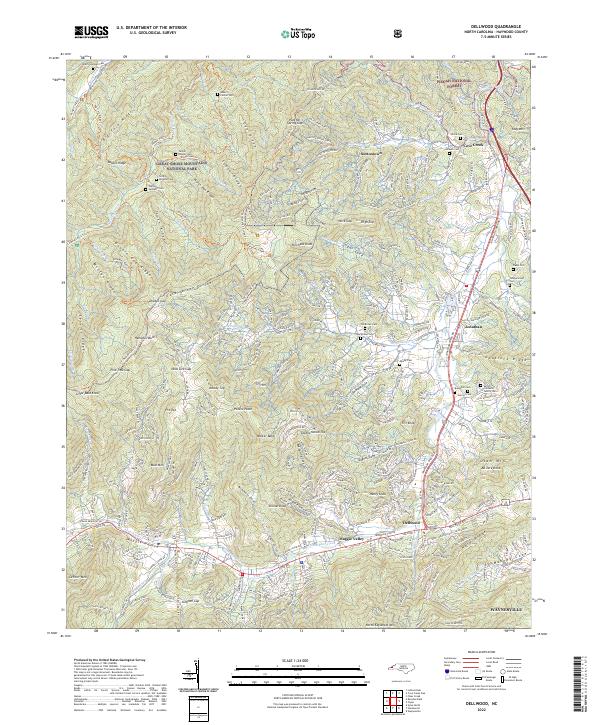
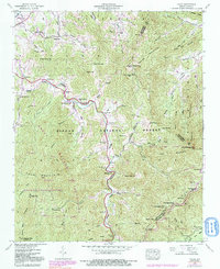
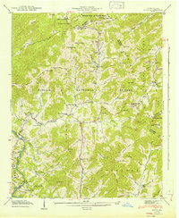
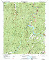
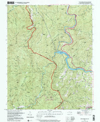
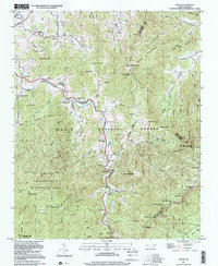
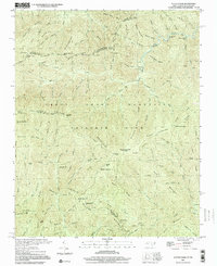
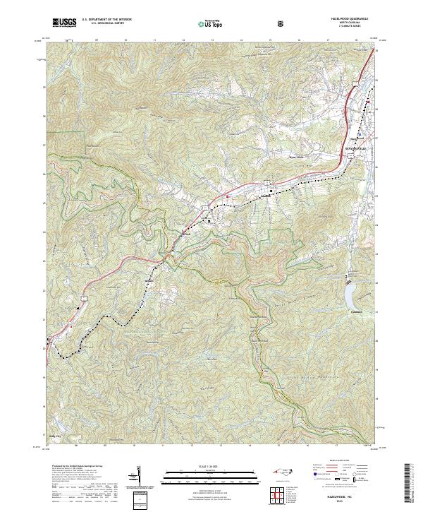
2022 Map of Dellwood
USGS Topo · Published 2022About this map
Great Smoky Mountains National Park and Pisgah National Forest converge in this high-altitude section of Haywood County, where the Cataloochee Divide separates the rugged drainages of the Pigeon River basin. This 2022 survey documents a landscape of deep familial roots, preserved in the high concentration of mountain cemeteries like the Sutton-Caldwell Family Cem and the Shelton-Caldwell Cem.
Find a feature on this map
98 named features on this map. Tap any name to fly to it.
Don’t see what you’re looking for? This feature index may not catch every label — zoom into the map to look around manually.
Map Details
Editions of this 2022 Dellwood Map
This is the sole edition of this map. No revisions or reprints were ever made.
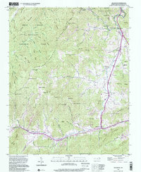
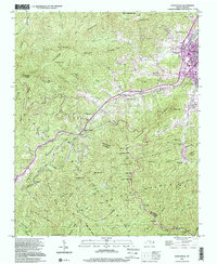
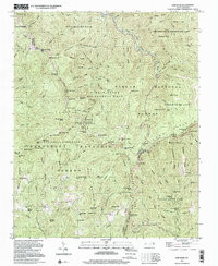
Historical Maps of Dellwood Through Time
37 maps found

1935 Cruso
Haywood County, NC

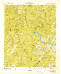
1935 Dellwood
Haywood County, NC

1935 Hazelwood
Haywood County, NC

1935 Sam Knob
Haywood County, NC
1936 Cove Creek Gap
Haywood County, NC
1936 Hepco
Haywood County, NC
1941 Cove Creek Gap
Haywood County, NC
1941 Cruso
Haywood County, NC
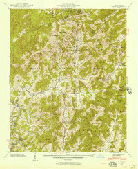
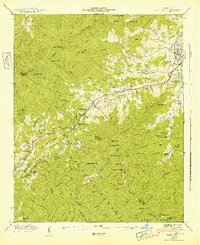
1941 Dellwood
Haywood County, NC
1941 Hazelwood
Haywood County, NC
1941 Hepco
Haywood County, NC
1942 Cove Creek Gap
Haywood County, NC
1942 Cruso
Haywood County, NC
1942 Hazelwood
Haywood County, NC
1942 Hepco
Haywood County, NC
1946 Sam Knob
Haywood County, NC
1964 Luftee Knob
Haywood County, NC
1967 Cove Creek Gap
Haywood County, NC
1967 Fines Creek
Haywood County, NC
1976 Cove Creek Gap
Haywood County, NC
1976 Dellwood
Haywood County, NC
1976 Luftee Knob
Haywood County, NC
1997 Cove Creek Gap
Haywood County, NC
1997 Cruso
Haywood County, NC
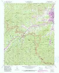
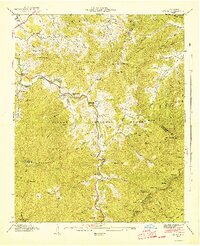
1997 Dellwood
Haywood County, NC
1997 Hazelwood
Haywood County, NC
1997 Sam Knob
Haywood County, NC
2000 Luftee Knob
Haywood County, NC
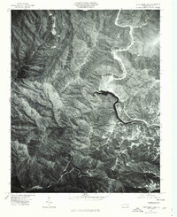
2003 Waterville
Haywood County, NC
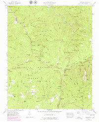
2022 Cove Creek Gap
Haywood County, NC
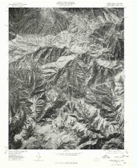
2022 Cruso
Haywood County, NC
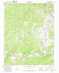
2022 Dellwood
Haywood County, NC
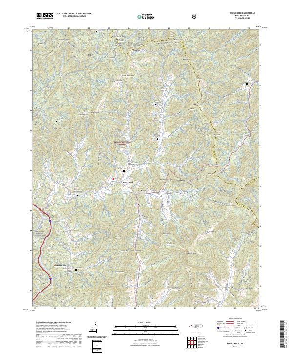
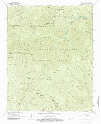
2022 Fines Creek
Haywood County, NC
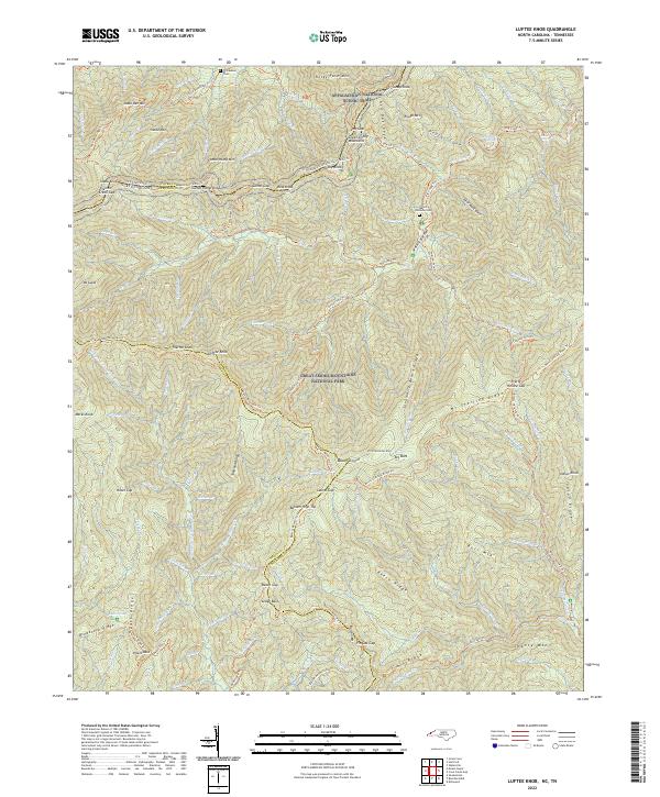
2022 Luftee Knob
Haywood County, NC
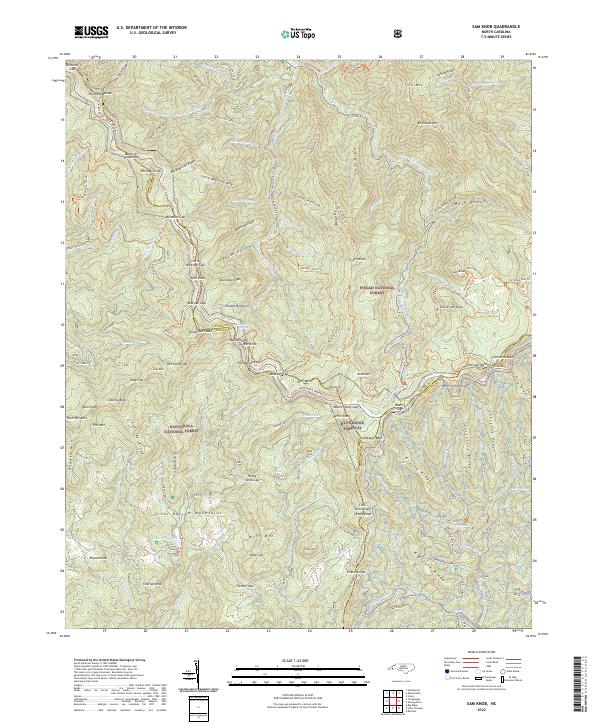
2022 Sam Knob
Haywood County, NC
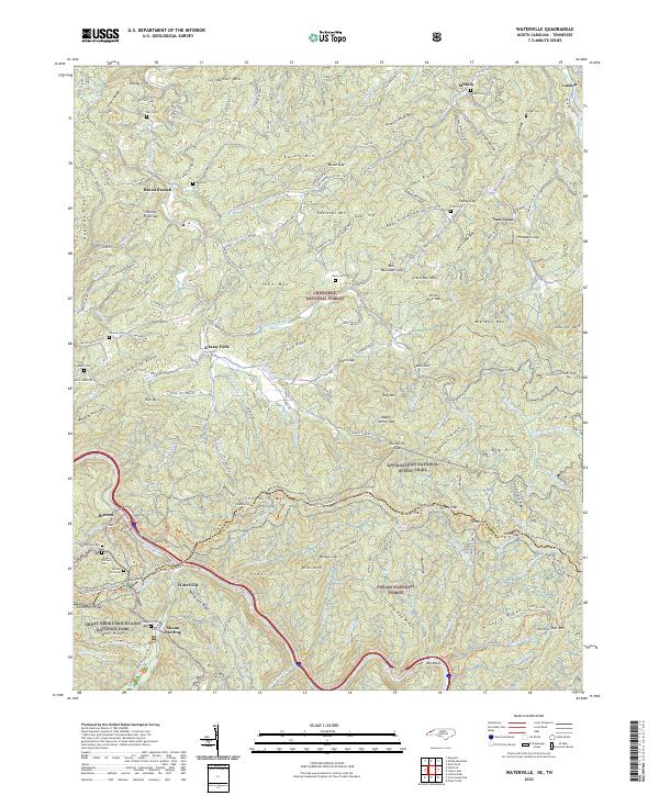
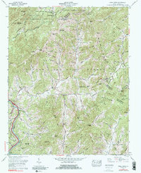
2022 Waterville
Haywood County, NC
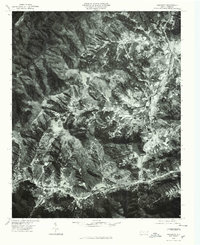
2023 Hazelwood
Haywood County, NC