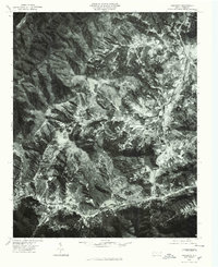
1976 Map of Dellwood
USGS Topo · Published 1979About this map
Maggie and the valley floor near Dellwood form the focal point of this 1976 orthophotoquad, which captures the cleared agricultural lands and developing corridors along Jonathans Creek and Route 276. Unlike traditional line-drawn maps, this photo-based survey provides a raw visual of the land use patterns during the mid-1970s, showing the sharp contrast between the settled valley bottoms and the heavily forested peaks of Moody Top and Cataloochee.
Find a feature on this map
10 named features on this map. Tap any name to fly to it.
Don’t see what you’re looking for? This feature index may not catch every label — zoom into the map to look around manually.
Map Details
Editions of this 1976 Dellwood Map
This is the sole edition of this map. No revisions or reprints were ever made.
Other maps of this area

1891 · Cowee
USGS Topo · 1:125,000

1893 · Mt Guyot
USGS Topo · 1:125,000

1894 · Asheville
USGS Topo · 1:125,000

1897 · Cowee
USGS Topo · 1:125,000

1901 · Asheville
USGS Topo · 1:125,000

1905 · Pisgah
USGS Topo · 1:125,000

1906 · Pisgah
USGS Topo · 1:125,000

1907 · Cowee
USGS Topo · 1:125,000

1912 · Mt Guyot
USGS Topo · 1:125,000

1935 · Waynesville
USGS Topo · 1:24,000