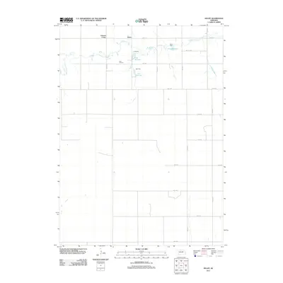
2011 Map of Deloit
USGS Topo · Published 2011About this map
Wolf Cemetery and the small settlement of Deloit anchor this rural Holt County landscape, illustrating the enduring patterns of Nebraska's agricultural heartland in the early 21st century. The map reveals a land defined by a precise section-line road grid, including 848th Rd and 508th Ave, which partition the terrain for livestock and farming. The natural drainage of Clearwater Creek is managed by a series of small-scale impoundments such as Funk Reservoir, Sehi Reservoir, and Twiss Reservoir. These features, along with their associated structures like Funk Dam, indicate a localized water management system essential for maintaining the productivity of the surrounding plains. The presence of Knievels Corner further marks the intersection of community and commerce in this sparsely populated region.
Find a feature on this map
25 named features on this map. Tap any name to fly to it.
Don’t see what you’re looking for? This feature index may not catch every label — zoom into the map to look around manually.
Map Details
Editions of this 2011 Deloit Map
This is the sole edition of this map. No revisions or reprints were ever made.
Other maps of this area

1955 · Broken Bow
USGS Topo · 1:250,000

1955 · O'Neill
USGS Topo · 1:250,000

1956 · Broken Bow
USGS Topo · 1:250,000

1959 · O'Neill
USGS Topo · 1:250,000

1960 · Spalding 2 NW
USGS Topo · 1:24,000

1960 · Spalding 2 NE
USGS Topo · 1:24,000

1963 · Deloit
USGS Topo · 1:24,000

1963 · Deloit SW
USGS Topo · 1:24,000

1963 · Neligh SW
USGS Topo · 1:24,000

1963 · Elgin NW
USGS Topo · 1:24,000