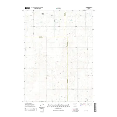
2014 Map of Deloit
USGS Topo · Published 2014About this map
Deloit and the surrounding agricultural plains of Holt and Wheeler counties are captured here in the early 21st century. The landscape is defined by a rigorous grid of section-line roads, including 848th Rd and 509th Ave, which connect the small rural communities and isolated family farmsteads. Water management is central to life in this part of the state, evidenced by the presence of Clearwater Cr and several man-made impoundments such as Funk Reservoir, Twiss Reservoir, and Sehi Reservoir. These features, along with Knievels Corner, indicate a community built on a highly organized system of land division and water conservation. For those researching local families, Wolf Cem serves as a significant genealogical marker near the center of the northern townships.
Find a feature on this map
27 named features on this map. Tap any name to fly to it.
Don’t see what you’re looking for? This feature index may not catch every label — zoom into the map to look around manually.
Map Details
Editions of this 2014 Deloit Map
This is the sole edition of this map. No revisions or reprints were ever made.
Other maps of this area

1955 · Broken Bow
USGS Topo · 1:250,000

1955 · O'Neill
USGS Topo · 1:250,000

1956 · Broken Bow
USGS Topo · 1:250,000

1959 · O'Neill
USGS Topo · 1:250,000

1960 · Spalding 2 NW
USGS Topo · 1:24,000

1960 · Spalding 2 NE
USGS Topo · 1:24,000

1963 · Deloit
USGS Topo · 1:24,000

1963 · Deloit SW
USGS Topo · 1:24,000

1963 · Neligh SW
USGS Topo · 1:24,000

1963 · Elgin NW
USGS Topo · 1:24,000