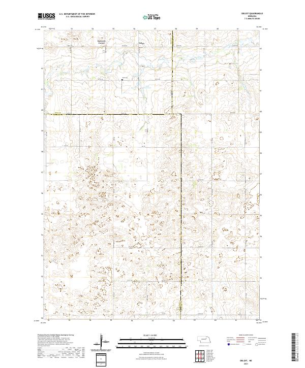
2021 Map of Deloit
USGS Topo · Published 2021About this map
The unincorporated settlement of Deloit sits at a geographic crossroads where the boundaries of Holt, Antelope, and Wheeler counties converge. This rural landscape is defined by the headwaters of Clearwater Cr, which winds through the northern sections near Knievels Corner. Local water management is evident through several small impoundments, including Twiss Reservoir, Funk Reservoir, and Sehi Reservoir, which serve the agricultural needs of the surrounding high plains. For those tracing family histories in this part of Nebraska, the Wolf Cem provides a primary point of reference in Township 25 North, Range 9 West. The map reveals a strictly organized grid of rural routes, from 848th Rd in the north down to 840th Rd, reflecting the enduring Public Land Survey System structure that has governed Nebraska's land use since pioneer settlement.
Find a feature on this map
27 named features on this map. Tap any name to fly to it.
Don’t see what you’re looking for? This feature index may not catch every label — zoom into the map to look around manually.
Map Details
Editions of this 2021 Deloit Map
This is the sole edition of this map. No revisions or reprints were ever made.
Other maps of this area

1955 · Broken Bow
USGS Topo · 1:250,000

1955 · O'Neill
USGS Topo · 1:250,000

1956 · Broken Bow
USGS Topo · 1:250,000

1959 · O'Neill
USGS Topo · 1:250,000

1960 · Spalding 2 NW
USGS Topo · 1:24,000

1960 · Spalding 2 NE
USGS Topo · 1:24,000

1963 · Deloit
USGS Topo · 1:24,000

1963 · Deloit SW
USGS Topo · 1:24,000

1963 · Neligh SW
USGS Topo · 1:24,000

1963 · Elgin NW
USGS Topo · 1:24,000