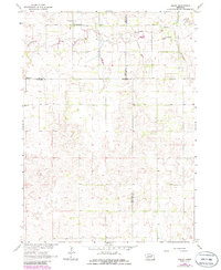
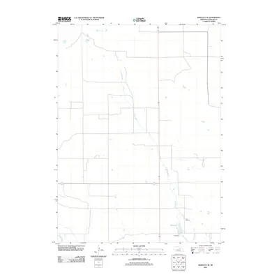
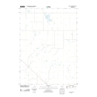
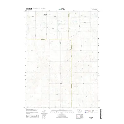
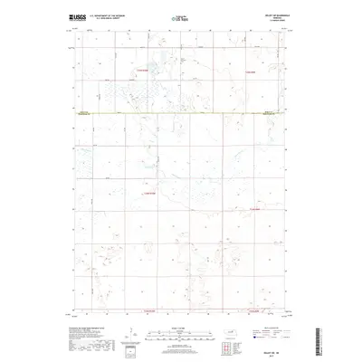
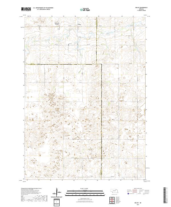
1963 Map of Deloit
USGS Topo · Published 1986About this map
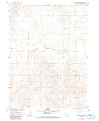
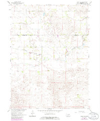
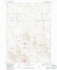
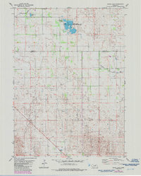
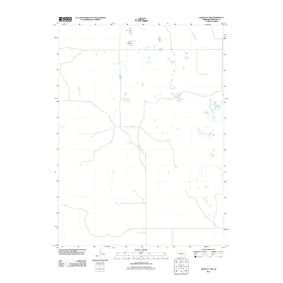
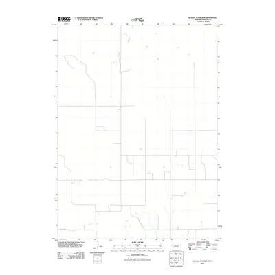
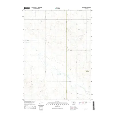
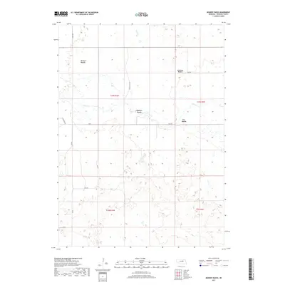
Deloit stands as the primary namesake settlement of this north-central Nebraska landscape, where the borders of Holt, Wheeler, and Antelope counties converge. The terrain is defined by the winding course of Clearwater Creek, which carves through the northern sections of the quadrangle. Local community life in this era is centered around family-named landmarks and rural infrastructure, including Knievels Corner and the Wolf Cem. The map reveals a highly decentralized educational system typical of the Nebraska Sandhills region during the mid-20th century, documented by the presence of School No 46, School No 60, and the Deloit Sch. Industrial activity is minimal but present, noted by a Sandpit located near a prominent bend in the creek. To the southeast, Fairview Ch serves as a lone spiritual landmark amidst the agricultural sections of Wheeler County.
Find a feature on this map
14 named features on this map. Tap any name to fly to it.
Don’t see what you’re looking for? This feature index may not catch every label — zoom into the map to look around manually.
Map Details
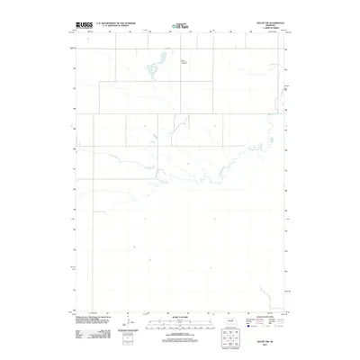
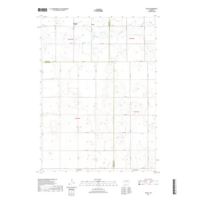
Editions of this 1963 Deloit Map
2 editions found
Historical Maps of Deloit Through Time
50 maps found
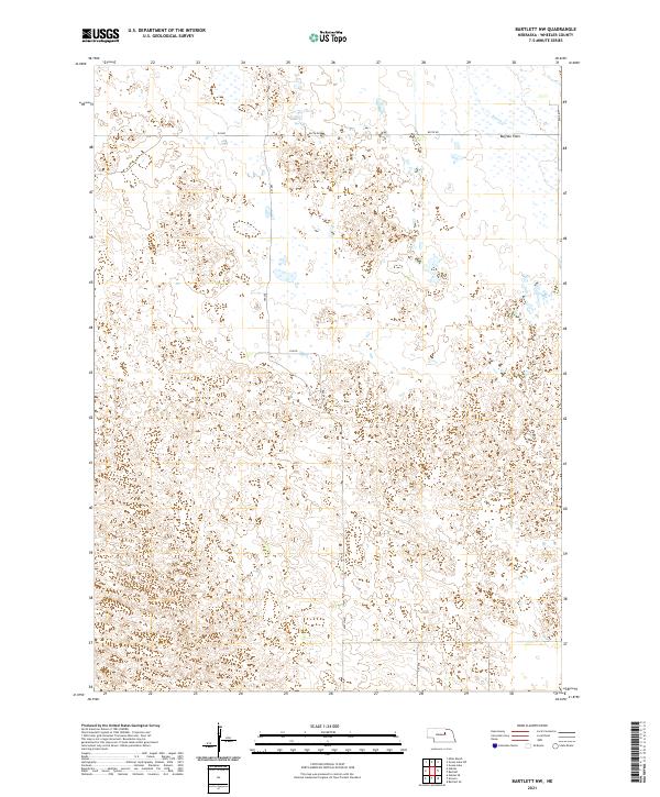
1954 Bartlett NW
Wheeler County, NE
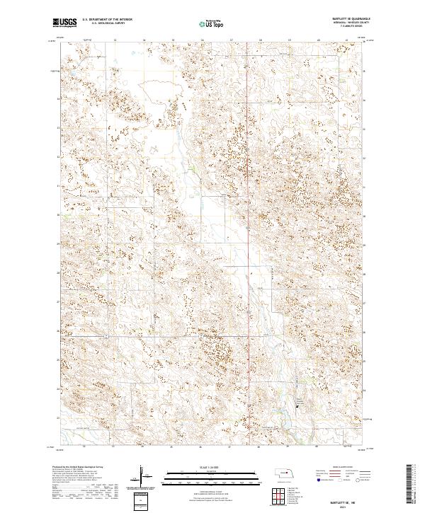
1954 Bartlett SE
Wheeler County, NE
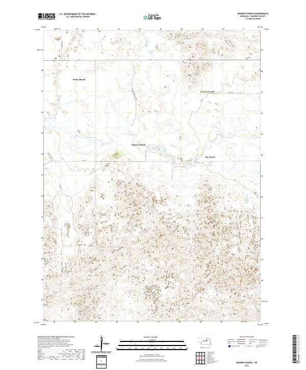
1960 Mignery Ranch
Wheeler County, NE
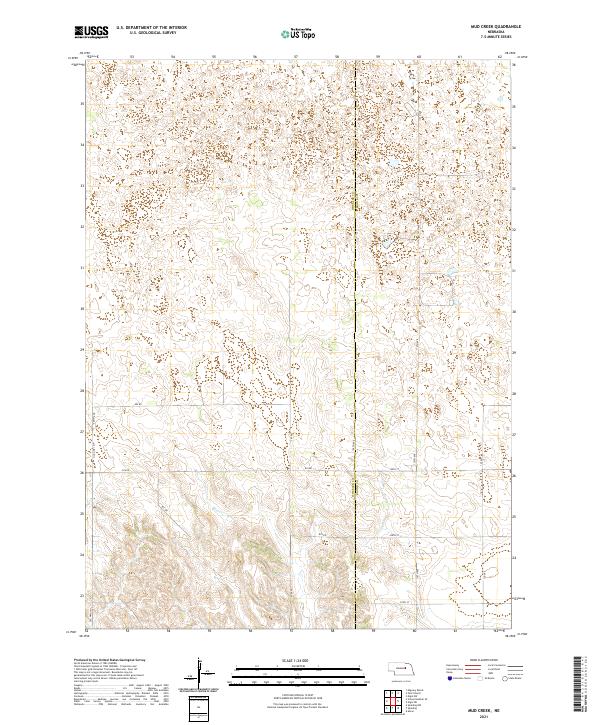
1960 Mud Creek
Wheeler County, NE
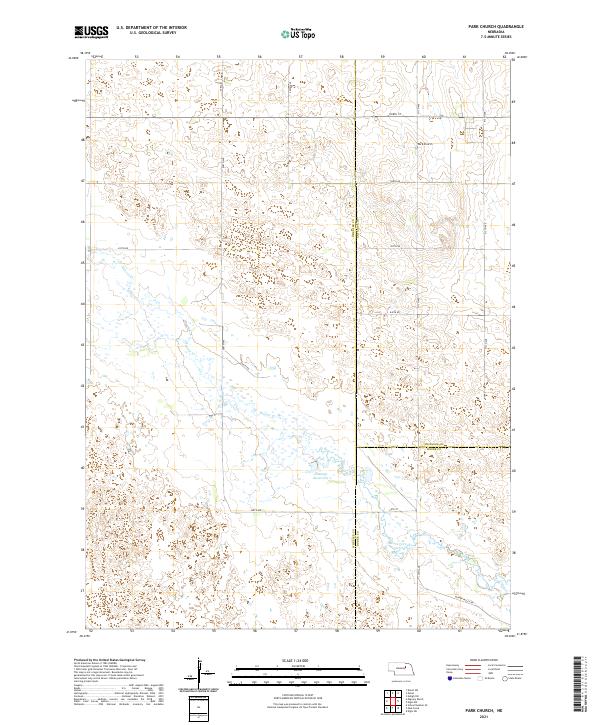
1960 Park Church
Wheeler County, NE
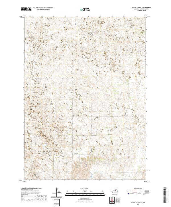
1960 School No. 20
Wheeler County, NE
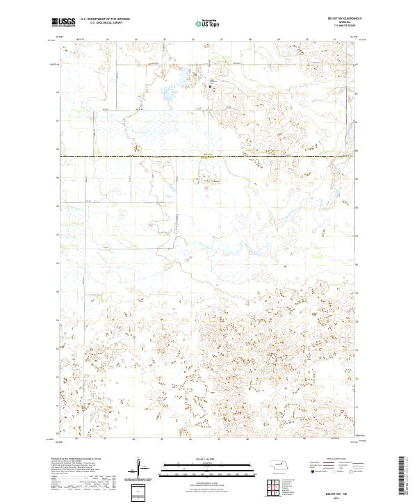
1963 Deloit SW
Wheeler County, NE
1963 Deloit
Wheeler County, NE
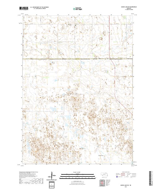
1981 Goose Lake SW
Wheeler County, NE
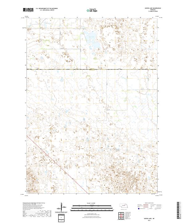
1981 Goose Lake
Wheeler County, NE
2011 Bartlett NW
Wheeler County, NE
2011 Bartlett SE
Wheeler County, NE
2011 Deloit SW
Wheeler County, NE
2011 Deloit
Wheeler County, NE
2011 Goose Lake SW
Wheeler County, NE
2011 Goose Lake
Wheeler County, NE
2011 Mignery Ranch
Wheeler County, NE
2011 Mud Creek
Wheeler County, NE
2011 Park Church
Wheeler County, NE
2011 School Number 20
Wheeler County, NE
2014 Bartlett NW
Wheeler County, NE
2014 Bartlett SE
Wheeler County, NE
2014 Deloit SW
Wheeler County, NE
2014 Deloit
Wheeler County, NE
2014 Goose Lake SW
Wheeler County, NE
2014 Goose Lake
Wheeler County, NE

2014 Mignery Ranch
Wheeler County, NE
2014 Mud Creek
Wheeler County, NE
2014 Park Church
Wheeler County, NE
2014 School Number 20
Wheeler County, NE
2017 Bartlett NW
Wheeler County, NE
2017 Bartlett SE
Wheeler County, NE
2017 Deloit SW
Wheeler County, NE
2017 Deloit
Wheeler County, NE
2017 Goose Lake SW
Wheeler County, NE
2017 Goose Lake
Wheeler County, NE
2017 Mignery Ranch
Wheeler County, NE
2017 Mud Creek
Wheeler County, NE
2017 Park Church
Wheeler County, NE
2017 School Number 20
Wheeler County, NE
2021 Bartlett NW
Wheeler County, NE
2021 Bartlett SE
Wheeler County, NE
2021 Deloit SW
Wheeler County, NE
2021 Deloit
Wheeler County, NE
2021 Goose Lake SW
Wheeler County, NE
2021 Goose Lake
Wheeler County, NE
2021 Mignery Ranch
Wheeler County, NE
2021 Mud Creek
Wheeler County, NE
2021 Park Church
Wheeler County, NE
2021 School Number 20
Wheeler County, NE