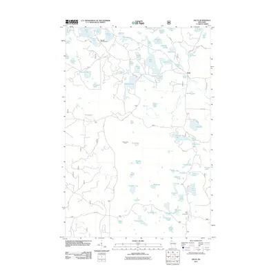
2011 Map of Delta
USGS Topo · Published 2011About this map
Glacial topography defines the village of Delta and the surrounding Chequamegon-Nicolet National Forest in this early 21st-century study. The landscape is a complex mosaic of kettle lakes and woodland drainage, dominated by water bodies such as Lake Delta, Canthook Lake, and the East Fork White River. Human presence in this timber-rich region is marked by the Delta Lookout Tower and the Perch Lake Campground, reflecting a transition from fire surveillance and forest management to recreation. A notable engineering feature is the Murrays 2WP1034 Dam near the northern edge, regulating local water flow through Hildur Lake. The network of forest roads, including W Delta Rd and Basswood Rd, provides access to numerous named fishing spots like Steelhead Lake and Spirit Lake, documenting the area's ongoing importance for sporting and outdoor leisure.
Find a feature on this map
92 named features on this map. Tap any name to fly to it.
Don’t see what you’re looking for? This feature index may not catch every label — zoom into the map to look around manually.
Map Details
Editions of this 2011 Delta Map
This is the sole edition of this map. No revisions or reprints were ever made.
Other maps of this area

1943 · Iron Lake
USGS Topo · 1:48,000

1944 · Moquah
USGS Topo · 1:48,000

1944 · Drummond
USGS Topo · 1:48,000

1944 · Grandview
USGS Topo · 1:48,000

1947 · Drummond
USGS Topo · 1:48,000

1947 · Moquah
USGS Topo · 1:48,000

1947 · Iron Lake
USGS Topo · 1:48,000

1947 · Grandview
USGS Topo · 1:48,000

1953 · Ashland
USGS Topo · 1:250,000

1958 · Ashland
USGS Topo · 1:250,000