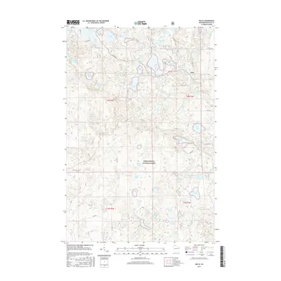
2015 Map of Delta
USGS Topo · Published 2015About this map
Delta is the primary settlement on this map of the Wisconsin Northwoods, situated in a dense landscape of glacial kettle lakes and wetlands. The community is positioned near Lake Delta and the winding course of the White River, which drains through the northeastern portion of the Chequamegon National Forest. The map documents a complex hydrography of small water bodies with distinct local names such as Swede Lake, Canthook Lake, and Muskellunge Lake, reflecting the region's character as a timber and recreation hub. A network of forest roads and scenic routes, including Scenic Dr and Co Hwy H, connects these isolated lakes. The presence of features like Carson Pond and Lake Bullhead alongside established townships like t46n r7w provides a detailed view of the land division and natural features that define this part of Bayfield County in the early 21st century.
Find a feature on this map
78 named features on this map. Tap any name to fly to it.
Don’t see what you’re looking for? This feature index may not catch every label — zoom into the map to look around manually.
Map Details
Editions of this 2015 Delta Map
This is the sole edition of this map. No revisions or reprints were ever made.
Other maps of this area

1943 · Iron Lake
USGS Topo · 1:48,000

1944 · Moquah
USGS Topo · 1:48,000

1944 · Drummond
USGS Topo · 1:48,000

1944 · Grandview
USGS Topo · 1:48,000

1947 · Drummond
USGS Topo · 1:48,000

1947 · Moquah
USGS Topo · 1:48,000

1947 · Iron Lake
USGS Topo · 1:48,000

1947 · Grandview
USGS Topo · 1:48,000

1953 · Ashland
USGS Topo · 1:250,000

1958 · Ashland
USGS Topo · 1:250,000