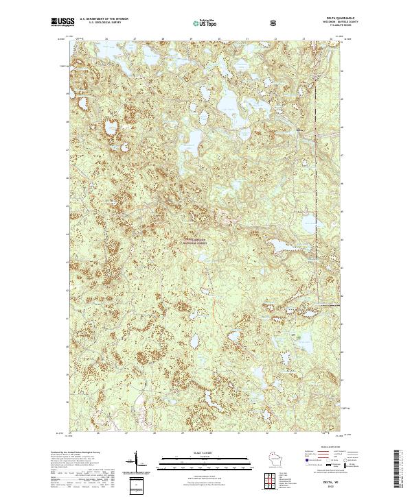
2022 Map of Delta
USGS Topo · Published 2022About this map
Chequamegon National Forest encompasses the vast majority of this Northwoods landscape, characterized by an exceptionally high density of glacial kettle lakes and wetlands. The small settlement of Delta serves as a local focal point near the eastern edge of the map, situated among water bodies like Lake Delta and Everett Lake. This area is defined by its recreation-oriented geography, featuring the North Country National Scenic Trl which winds through the central and southern portions of the quadrangle. Local roads such as Co Hwy H and Eagle Lake Rd provide access to numerous named water bodies, including Eagle Lake, Steelhead Lake, and Phantom Lake. The map reveals a complex drainage pattern where smaller lakes like Inch Lake and Hildur Lake are connected by a network of creeks and forest roads, illustrating the legacy of post-glacial topography in Bayfield County.
Find a feature on this map
74 named features on this map. Tap any name to fly to it.
Don’t see what you’re looking for? This feature index may not catch every label — zoom into the map to look around manually.
Map Details
Editions of this 2022 Delta Map
This is the sole edition of this map. No revisions or reprints were ever made.
Other maps of this area

1943 · Iron Lake
USGS Topo · 1:48,000

1944 · Moquah
USGS Topo · 1:48,000

1944 · Drummond
USGS Topo · 1:48,000

1944 · Grandview
USGS Topo · 1:48,000

1947 · Drummond
USGS Topo · 1:48,000

1947 · Moquah
USGS Topo · 1:48,000

1947 · Iron Lake
USGS Topo · 1:48,000

1947 · Grandview
USGS Topo · 1:48,000

1953 · Ashland
USGS Topo · 1:250,000

1958 · Ashland
USGS Topo · 1:250,000