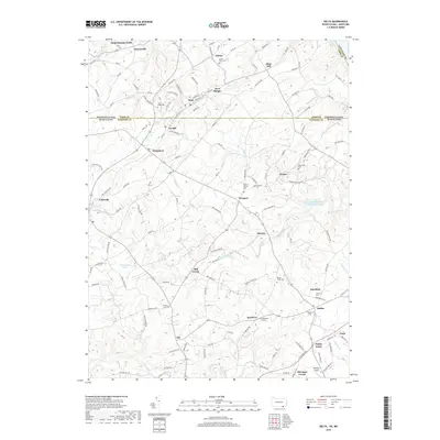
2019 Map of Delta
USGS Topo · Published 2019About this map
The Pennsylvania-Maryland state line splits this landscape, where the neighboring communities of Delta and Cardiff serve as a historic cross-border focal point. This corridor is defined by a dense network of local roads such as Ramsey Tavern Rd and Pikes Peak Rd, which connect several small hamlets including West Bangor, Whiteford, and Bryansville. The region's spiritual and genealogical history is well-preserved through numerous burial grounds, from the Slate Ridge Cem in the north to the Southern Cem and Ascension Cem near Scarboro.
Find a feature on this map
135 named features on this map. Tap any name to fly to it.
Don’t see what you’re looking for? This feature index may not catch every label — zoom into the map to look around manually.
Map Details
Editions of this 2019 Delta Map
This is the sole edition of this map. No revisions or reprints were ever made.
Other maps of this area

1900 · Havre De Grace
USGS Topo · 1:62,500

1901 · Belair
USGS Topo · 1:62,500

1912 · Quarryville
USGS Topo · 1:62,500

1912 · Mc Calls Ferry
USGS Topo · 1:62,500

1942 · Havre De Grace
USGS Topo · 1:62,500

1942 · Bel Air
USGS Topo · 1:62,500

1943 · Quarryville
USGS Topo · 1:62,500

1943 · Mc Calls Ferry
USGS Topo · 1:62,500

1945 · Bel Air
USGS Topo · 1:62,500

1948 · Baltimore
USGS Topo · 1:250,000