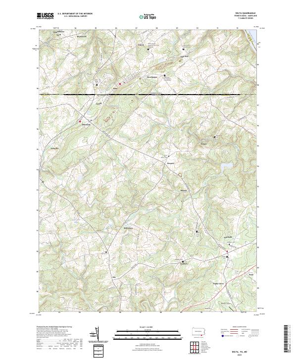
2023 Map of Delta
USGS Topo · Published 2023About this map
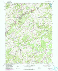
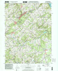
Pennsylvania and Maryland borders intersect at the twin settlements of Delta and Cardiff, forming a unique interstate community corridor. This topographic study captures the landscape's diverse character, from the steep banks along the Susquehanna River in the northeast to the network of creeks like Broad Creek and Scott Creek that drain the interior. The region's heritage is deeply rooted in its religious and community spaces, evidenced by the numerous cemeteries including the Trinity African Methodist Episcopal Zion Cem and Slateville Presbyterian Church Cem. Small crossroads communities such as Whiteford, Pylesville, and Scarboro dot the area, connected by local routes like Susquehanna Trails and Pylesville Rd. These small hubs, alongside Moxley's Airport near the southern edge, illustrate a rural development pattern shaped by both the rugged stream valleys and the historic state boundary line.
Find a feature on this map
81 named features on this map. Tap any name to fly to it.
Don’t see what you’re looking for? This feature index may not catch every label — zoom into the map to look around manually.
Map Details
Editions of this 2023 Delta Map
This is the sole edition of this map. No revisions or reprints were ever made.
Historical Maps of Delta Through Time
7 maps found