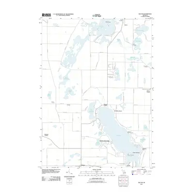
2011 Map of Delton
USGS Topo · Published 2011About this map
Gull Lake dominates this portion of Kalamazoo County, its expansive waters surrounded by established communities and research outposts. To the south, the village of Yorkville and the South Gull Lake development mark the shoreline near Gull Lake Island, while the Michigan State University campus presence at Kellogg Bird Sanctuary (noted by the university label) indicates the area's significance for biological research. The landscape is dotted with smaller glacial lakes like Crooked Lake and Indian Lake, each supporting clusters of seasonal and year-round residences.
Find a feature on this map
104 named features on this map. Tap any name to fly to it.
Don’t see what you’re looking for? This feature index may not catch every label — zoom into the map to look around manually.
Map Details
Editions of this 2011 Delton Map
This is the sole edition of this map. No revisions or reprints were ever made.
Other maps of this area

1916 · Kalamazoo
USGS Topo · 1:62,500

1918 · Kalamazoo
USGS Topo · 1:62,500

1918 · Galesburg
USGS Topo · 1:62,500

1943 · Kalamazoo
USGS Topo · 1:62,500

1944 · Galesburg
USGS Topo · 1:62,500

1947 · Augusta
USGS Topo · 1:24,000

1947 · Delton
USGS Topo · 1:24,000

1947 · Galesburg
USGS Topo · 1:24,000

1947 · Banfield
USGS Topo · 1:24,000

1947 · Galesburg
USGS Topo · 1:62,500