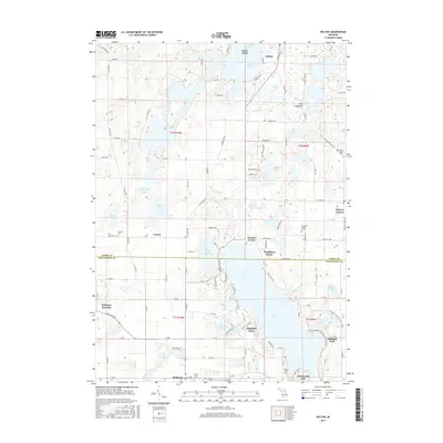
2017 Map of Delton
USGS Topo · Published 2017About this map
Gull Lake dominates the southeastern portion of this landscape, serving as a focal point for lakeside communities such as Highland Park, Woodlawn Beach, and Midland Park. This 2017 digital survey details the modern layout of the boundary between Barry and Kalamazoo counties, where the glacial topography is defined by features like The Hogback and Stony Point. Further north, the village of Delton sits near Crooked Lake, while the smaller settlement of Cressey lies to the west. For genealogists and local historians, several burial sites are documented, including the Prairie Home Cem in Richland, the Cressey Cem, and the unique individual Charlotte Dewey Grave located near Hickory Corners. The map provides a clear view of the transition from these lakeside residential areas to the surrounding agricultural and wooded wetlands like Blackman Swamp.
Find a feature on this map
111 named features on this map. Tap any name to fly to it.
Don’t see what you’re looking for? This feature index may not catch every label — zoom into the map to look around manually.
Map Details
Editions of this 2017 Delton Map
This is the sole edition of this map. No revisions or reprints were ever made.
Other maps of this area

1916 · Kalamazoo
USGS Topo · 1:62,500

1918 · Kalamazoo
USGS Topo · 1:62,500

1918 · Galesburg
USGS Topo · 1:62,500

1943 · Kalamazoo
USGS Topo · 1:62,500

1944 · Galesburg
USGS Topo · 1:62,500

1947 · Augusta
USGS Topo · 1:24,000

1947 · Delton
USGS Topo · 1:24,000

1947 · Galesburg
USGS Topo · 1:24,000

1947 · Banfield
USGS Topo · 1:24,000

1947 · Galesburg
USGS Topo · 1:62,500