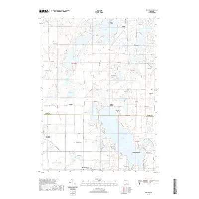
2019 Map of Delton
USGS Topo · Published 2019About this map
Gull Lake dominates the southern landscape of this 2019 survey, where its shores are lined with established residential communities like Highland Park, South Gull Lake, and Midland Park. This region on the border of Barry and Kalamazoo counties is defined by a dense concentration of glacial kettle lakes, including Crooked Lake and Indian Lake, which have shaped the local road network and settlement patterns. The village of Delton sits at the northern edge, while Richland occupies the southwest corner, showing the modern footprints of these long-standing rural centers.
Find a feature on this map
103 named features on this map. Tap any name to fly to it.
Don’t see what you’re looking for? This feature index may not catch every label — zoom into the map to look around manually.
Map Details
Editions of this 2019 Delton Map
This is the sole edition of this map. No revisions or reprints were ever made.
Other maps of this area

1916 · Kalamazoo
USGS Topo · 1:62,500

1918 · Kalamazoo
USGS Topo · 1:62,500

1918 · Galesburg
USGS Topo · 1:62,500

1943 · Kalamazoo
USGS Topo · 1:62,500

1944 · Galesburg
USGS Topo · 1:62,500

1947 · Augusta
USGS Topo · 1:24,000

1947 · Delton
USGS Topo · 1:24,000

1947 · Galesburg
USGS Topo · 1:24,000

1947 · Banfield
USGS Topo · 1:24,000

1947 · Galesburg
USGS Topo · 1:62,500