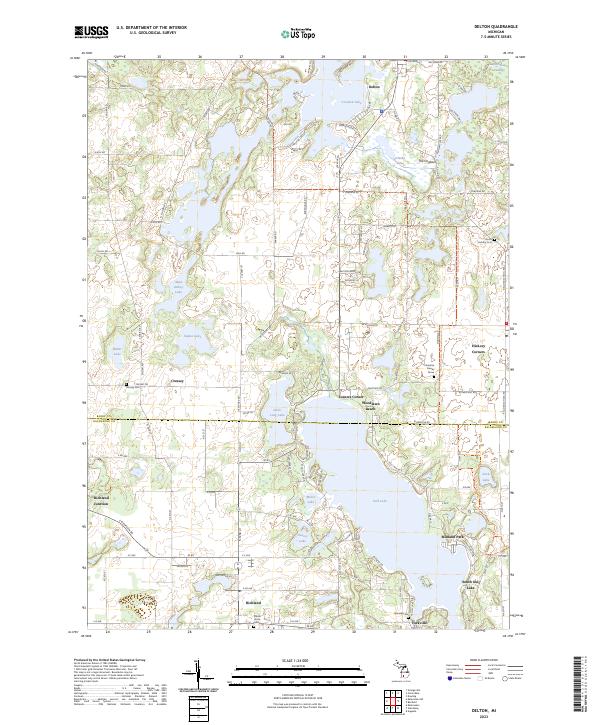
2023 Map of Delton
USGS Topo · Published 2023About this map
Gull Lake and its surrounding residential communities anchor this modern topographic view of the boundary between Barry and Kalamazoo counties. The map illustrates a landscape shaped by glacial activity, featuring numerous kettle lakes like Crooked Lake, Indian Lake, and Little Long Lake, separated by the distinctive ridge of The Hogback. Settlement patterns are concentrated in villages and unincorporated communities such as Delton, Richland, and Hickory Corners, connected by a dense network of local roads.
Find a feature on this map
98 named features on this map. Tap any name to fly to it.
Don’t see what you’re looking for? This feature index may not catch every label — zoom into the map to look around manually.
Map Details
Editions of this 2023 Delton Map
This is the sole edition of this map. No revisions or reprints were ever made.
Other maps of this area
1916 · Kalamazoo
USGS Topo · 1:62,500
1918 · Kalamazoo
USGS Topo · 1:62,500
1918 · Galesburg
USGS Topo · 1:62,500
1943 · Kalamazoo
USGS Topo · 1:62,500
1944 · Galesburg
USGS Topo · 1:62,500
1947 · Augusta
USGS Topo · 1:24,000
1947 · Delton
USGS Topo · 1:24,000
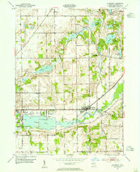
1947 · Galesburg
USGS Topo · 1:24,000
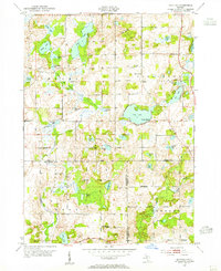
1947 · Banfield
USGS Topo · 1:24,000
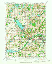
1947 · Galesburg
USGS Topo · 1:62,500