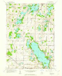
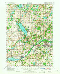
1961 Map of Delton
USGS Topo · Published 1962About this map
Gull Lake dominates this 1961 landscape, surrounded by lakeside communities including Highland Park, Woodlawn Beach, and Midland Park. The presence of the Michigan State University (Kellogg Station) and the Kellogg Sch reflects the significant local influence of the Kellogg family and institutional interests in the area during this era. The terrain is marked by glacial activity, featuring distinctive ridges like The Hogback and a dense network of water bodies such as Crooked Lake, Mud Lake, and Little Long Lake.
Find a feature on this map
41 named features on this map. Tap any name to fly to it.
Don’t see what you’re looking for? This feature index may not catch every label — zoom into the map to look around manually.
Map Details
Editions of this 1961 Delton Map
3 editions found
Other maps of this area
1916 · Kalamazoo
USGS Topo · 1:62,500
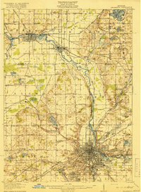
1918 · Kalamazoo
USGS Topo · 1:62,500
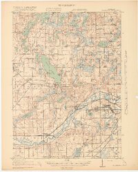
1918 · Galesburg
USGS Topo · 1:62,500
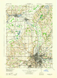
1943 · Kalamazoo
USGS Topo · 1:62,500
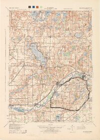
1944 · Galesburg
USGS Topo · 1:62,500
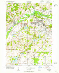
1947 · Augusta
USGS Topo · 1:24,000
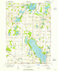
1947 · Delton
USGS Topo · 1:24,000
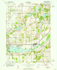
1947 · Galesburg
USGS Topo · 1:24,000
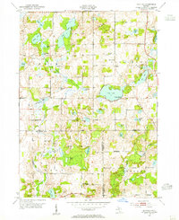
1947 · Banfield
USGS Topo · 1:24,000
1947 · Galesburg
USGS Topo · 1:62,500