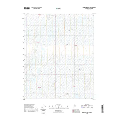
2018 Map of Demarcation Point D-4 NW
USGS Topo · Published 2018About this map
The Jago River winds through the western portion of this Arctic landscape, creating a braided drainage pattern across the coastal plain. The terrain is defined by low-lying wetlands and the subtle elevation of Niguanak Ridge in the central east. This area, located within the North Slope Borough, is mapped through the lens of the Public Land Survey System, showing the divisions of t8n r35e, t7n r35e, and t7n r36e. The map illustrates a remote wilderness where the hydrography is the dominant feature, revealing how water systems shape the northern Alaskan tundra before they reach the Beaufort Sea.
Find a feature on this map
7 named features on this map. Tap any name to fly to it.
Don’t see what you’re looking for? This feature index may not catch every label — zoom into the map to look around manually.
Map Details
Editions of this 2018 Demarcation Point D-4 NW Map
This is the sole edition of this map. No revisions or reprints were ever made.
Other maps of this area

1951 · Barter Island
USGS Topo · 1:250,000

1951 · Demarcation Point
USGS Topo · 1:250,000

1955 · Demarcation Point
USGS Topo · 1:250,000

1955 · Barter Island A-5
USGS Topo · 1:63,360

1955 · Barter Island A-4
USGS Topo · 1:63,360

1955 · Demarcation Point D-5
USGS Topo · 1:63,360

1955 · Demarcation Point D-4
USGS Topo · 1:63,360

1959 · Barter Island
USGS Topo · 1:250,000

1964 · Demarcation Point
USGS Topo · 1:250,000
1964 · Barter Island
USGS Topo · 1:250,000