
1955 Map of Demarcation Point
USGS Topo · Published 1955About this map
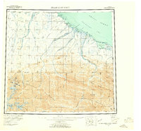
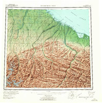
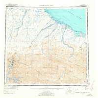
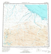
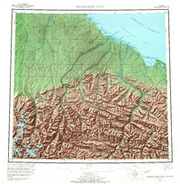
The Arctic National Wildlife Refuge Wilderness dominates this mid-century survey, where the Brooks Range meets the Beaufort Sea. The landscape is defined by the Continental Divide and high peaks like Mt Isto and Mt Hubley, which feed a massive system of ice and water including Arey Glacier and McCall Glacier. Along the coast, the environment transitions into a series of lagoons protected by narrow reefs, such as Icy Reef Lagoon and Egaksrak Lagoon. Evidence of human activity is scarce but specific, noted by the settlement at Gordon, the Kuluruak (Site), and a Tractor Trail cutting through the northeast. At the international boundary, Demarcation Point stands as the literal corner of the United States and Canada, marking the remote terminus where the British Mountains descend toward Demarcation Bay.
Find a feature on this map
64 named features on this map. Tap any name to fly to it.
Don’t see what you’re looking for? This feature index may not catch every label — zoom into the map to look around manually.
Map Details
Editions of this 1955 Demarcation Point Map
8 editions found
Other maps of this area

1951 · Barter Island
USGS Topo · 1:250,000

1951 · Demarcation Point
USGS Topo · 1:250,000

1951 · Arctic
USGS Topo · 1:250,000

1951 · Table Mountain
USGS Topo · 1:250,000

1951 · Mt. Michelson
USGS Topo · 1:250,000

1955 · Flaxman Island
USGS Topo · 1:250,000

1955 · Mount Michelson B-1
USGS Topo · 1:63,360

1955 · Mount Michelson C-1
USGS Topo · 1:63,360

1955 · Demarcation Point C-5
USGS Topo · 1:63,360

1955 · Flaxman Island A-1
USGS Topo · 1:63,360