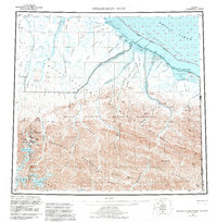
1955 Map of Demarcation Point
USGS Topo · Published 1983About this map
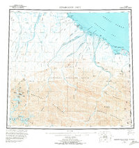
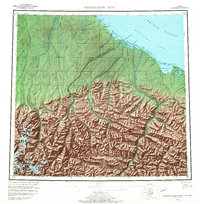
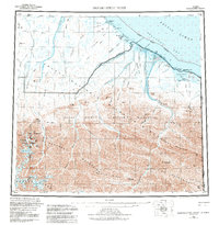
Demarcation Point and its coastal surroundings on the Beaufort Sea define this northernmost reach of the Arctic National Wildlife Refuge Wilderness. This mid-century survey illustrates the drainage of the Romanzof Mountains and British Mountains, where peaks such as Mt Isto and Mt Hubley rise above the Continental Divide. The map details the transition from high alpine terrain to the coastal plains, marked by a series of lagoons including Angun Lagoon and Pingokraluk Lagoon protected by the Icy Reef. Human presence is sparse, noted at the settlement of Gordon and various coastal ruins. A remote landing strip at Nuvagapak Pt and a Tractor Trail following the shoreline represent the primary infrastructure connecting these desolate points along the Alaska-Yukon border.
Find a feature on this map
73 named features on this map. Tap any name to fly to it.
Don’t see what you’re looking for? This feature index may not catch every label — zoom into the map to look around manually.
Map Details
Editions of this 1955 Demarcation Point Map
8 editions found
Other maps of this area

1951 · Barter Island
USGS Topo · 1:250,000

1951 · Demarcation Point
USGS Topo · 1:250,000

1951 · Arctic
USGS Topo · 1:250,000

1951 · Table Mountain
USGS Topo · 1:250,000

1951 · Mt. Michelson
USGS Topo · 1:250,000

1955 · Flaxman Island
USGS Topo · 1:250,000

1955 · Demarcation Point
USGS Topo · 1:250,000

1955 · Mount Michelson B-1
USGS Topo · 1:63,360

1955 · Mount Michelson C-1
USGS Topo · 1:63,360

1955 · Demarcation Point C-5
USGS Topo · 1:63,360