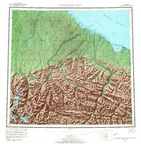
1955 Map of Demarcation Point
USGS Topo · Published 1973About this map
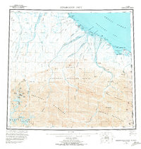
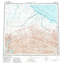
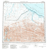
The Arctic National Wildlife Range dominates this landscape where the high peaks of the Romanzof Mountains and British Mountains descend toward the Beaufort Sea. The map records a sparsely populated coastline marked by the Alaska Yukon boundary, where the international border reaches the Arctic Ocean at Demarcation Point. Along the shore, complex lagoon systems like Icy Lagoon and Angun Lagoon are protected by gravel bars and spits such as Icy Reef. Local geography is shaped by numerous rivers flowing north from the Continental Divide, including the Aichilik River and Jago River. Human activity is noted at the abandoned settlement of Gordon (Aband) and the Kuluruak (Site), while a lone Tractor Trail provides a trace of mid-century overland passage across the tundra. High elevation points like Mt Hubley and Mt Greenough overlook glaciers and braided river valleys in this northernmost frontier.
Find a feature on this map
94 named features on this map. Tap any name to fly to it.
Don’t see what you’re looking for? This feature index may not catch every label — zoom into the map to look around manually.
Map Details
Editions of this 1955 Demarcation Point Map
8 editions found
Other maps of this area

1951 · Barter Island
USGS Topo · 1:250,000

1951 · Demarcation Point
USGS Topo · 1:250,000

1951 · Arctic
USGS Topo · 1:250,000

1951 · Table Mountain
USGS Topo · 1:250,000

1951 · Mt. Michelson
USGS Topo · 1:250,000

1955 · Flaxman Island
USGS Topo · 1:250,000

1955 · Demarcation Point
USGS Topo · 1:250,000

1955 · Mount Michelson B-1
USGS Topo · 1:63,360

1955 · Mount Michelson C-1
USGS Topo · 1:63,360

1955 · Demarcation Point C-5
USGS Topo · 1:63,360