
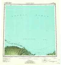
1955 Map of Flaxman Island
USGS Topo · Published 1955About this map
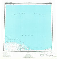
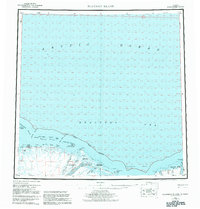
Leffingwell Camp National Historical Site stands as a notable landmark on the western tip of Flaxman Island, documenting early 20th-century exploration along the edge of the Beaufort Sea. This coastal landscape is defined by the braided outlets of the Canning River and Staines River, which flow north through the Arctic National Wildlife Refuge into the sea. The map records a transition toward industrial exploration, indicated by a Drill Hole and Radio Beacon located near Bullen Pt. Navigational access points like Mary Sachs Entrance and Challenge Entrance separate the mainland from the Maguire Islands and Stockton Islands. Transportation in this era relied on a long Tractor Trail that skirts the southern edge of Camden Bay, providing a vital link between isolated camps and coastal points.
Find a feature on this map
34 named features on this map. Tap any name to fly to it.
Don’t see what you’re looking for? This feature index may not catch every label — zoom into the map to look around manually.
Map Details
Editions of this 1955 Flaxman Island Map
7 editions found
Other maps of this area

1951 · Beechey Point
USGS Topo · 1:250,000

1951 · Barter Island
USGS Topo · 1:250,000

1951 · Sagavanirktok D-5
USGS Topo · 1:250,000

1951 · Demarcation Point
USGS Topo · 1:250,000

1951 · Mt. Michelson
USGS Topo · 1:250,000

1955 · Demarcation Point
USGS Topo · 1:250,000

1955 · Beechey Point
USGS Topo · 1:250,000

1955 · Mount Michelson D-5
USGS Topo · 1:63,360

1955 · Mount Michelson D-3
USGS Topo · 1:63,360

1955 · Mount Michelson D-4
USGS Topo · 1:63,360