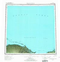
1955 Map of Flaxman Island
USGS Topo · Published 1968About this map
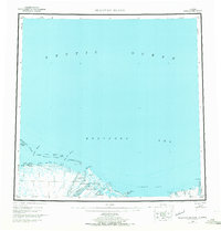
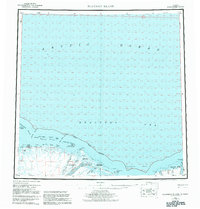
The Arctic National Wildlife Range dominates the coastal landscape of the North Slope in this mid-century survey, showing the intricate boundary between the Alaskan tundra and the ice-choked waters of the Arctic Ocean. Barrier island chains like the Stockton Islands and Maguire Islands provide a protective buffer for the mainland, creating sheltered passages such as Challenge Entrance and Mary Sachs Entrance. On the mainland, a solitary Tractor Trail cuts across the terrain, serving as the primary overland link between remote outposts like Konganevik and the Flaxman Aerodrome. Large braided river systems, including the Canning River and Staines River, illustrate the hydraulic patterns of the coastal plain before extensive modern development. The presence of coastal points like Pt Thomson and Brownlow Pt highlights early 20th-century exploration and naming conventions in this remote subarctic region.
Find a feature on this map
34 named features on this map. Tap any name to fly to it.
Don’t see what you’re looking for? This feature index may not catch every label — zoom into the map to look around manually.
Map Details
Editions of this 1955 Flaxman Island Map
7 editions found
Other maps of this area

1951 · Beechey Point
USGS Topo · 1:250,000

1951 · Barter Island
USGS Topo · 1:250,000

1951 · Sagavanirktok D-5
USGS Topo · 1:250,000

1951 · Demarcation Point
USGS Topo · 1:250,000

1951 · Mt. Michelson
USGS Topo · 1:250,000

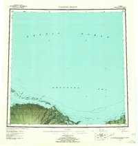
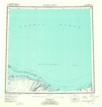
1955 · Flaxman Island
USGS Topo · 1:250,000

1955 · Demarcation Point
USGS Topo · 1:250,000

1955 · Beechey Point
USGS Topo · 1:250,000

1955 · Mount Michelson D-5
USGS Topo · 1:63,360

1955 · Mount Michelson D-3
USGS Topo · 1:63,360