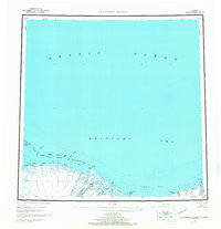
1955 Map of Flaxman Island
USGS Topo · Published 1968About this map
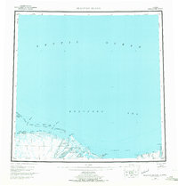
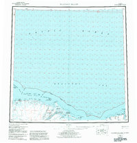
The Arctic National Wildlife Range dominates this mid-century survey of the North Slope coast, where the Canning River and Staines River flow into the Beaufort Sea. This era of Arctic exploration and early scientific survey is reflected in the mapping of remote outposts like Bullen and Konganevik, alongside the Flaxman Aerodrome on the barrier island system. The coastline is defined by a chain of islands including the Stockton Islands, Maguire Islands, and the namesake Flaxman Island, which protected early navigation through Mikkelsen Bay and Camden Bay. A notable Tractor Trail cuts across the tundra between the Tamayariak River and the coast, illustrating the overland transport methods used in this environment before permanent road infrastructure. The map provides a look at the hydrography of the region just before the discovery of oil nearby would fundamentally alter the logistics and accessibility of the Alaskan Arctic.
Find a feature on this map
55 named features on this map. Tap any name to fly to it.
Don’t see what you’re looking for? This feature index may not catch every label — zoom into the map to look around manually.
Map Details
Editions of this 1955 Flaxman Island Map
7 editions found
Other maps of this area

1951 · Beechey Point
USGS Topo · 1:250,000

1951 · Barter Island
USGS Topo · 1:250,000

1951 · Sagavanirktok D-5
USGS Topo · 1:250,000

1951 · Demarcation Point
USGS Topo · 1:250,000

1951 · Mt. Michelson
USGS Topo · 1:250,000

1955 · Flaxman Island
USGS Topo · 1:250,000

1955 · Demarcation Point
USGS Topo · 1:250,000

1955 · Beechey Point
USGS Topo · 1:250,000

1955 · Mount Michelson D-5
USGS Topo · 1:63,360

1955 · Mount Michelson D-3
USGS Topo · 1:63,360