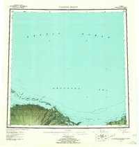
1955 Map of Flaxman Island
USGS Topo · Published 1961About this map
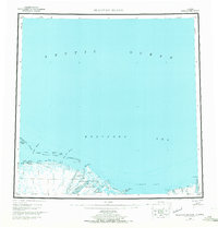
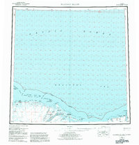
Flaxman Island and the neighboring Maguire Islands define this stretch of the North Slope where the Beaufort Sea meets the Alaskan mainland. Compiled from 1950s surveys and hydrographic charts, the map reveals a coastline of barrier islands and shallow entrances such as Challenge Entrance and Mary Sachs Entrance. Inland, the landscape is dominated by the braided outwash of the Canning River, which forms a sprawling delta system between Mikkelsen Bay and Camden Bay.
Find a feature on this map
54 named features on this map. Tap any name to fly to it.
Don’t see what you’re looking for? This feature index may not catch every label — zoom into the map to look around manually.
Map Details
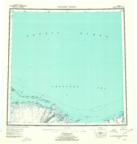
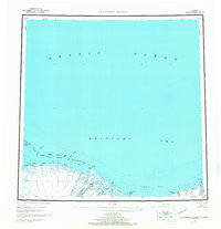
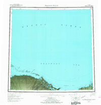
Editions of this 1955 Flaxman Island Map
7 editions found
Other maps of this area

1951 · Beechey Point
USGS Topo · 1:250,000

1951 · Barter Island
USGS Topo · 1:250,000

1951 · Sagavanirktok D-5
USGS Topo · 1:250,000

1951 · Demarcation Point
USGS Topo · 1:250,000

1951 · Mt. Michelson
USGS Topo · 1:250,000

1955 · Flaxman Island
USGS Topo · 1:250,000

1955 · Demarcation Point
USGS Topo · 1:250,000

1955 · Beechey Point
USGS Topo · 1:250,000

1955 · Mount Michelson D-5
USGS Topo · 1:63,360

1955 · Mount Michelson D-3
USGS Topo · 1:63,360