
1955 Map of Beechey Point
USGS Topo · Published 1961About this map
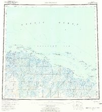
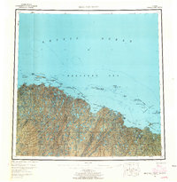
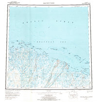
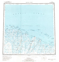
Beechey Point and the surrounding coastline of the Beaufort Sea are shown here as they existed in the mid-1950s, more than a decade before the discovery of major oil fields transformed the region. The landscape is a complex web of thaw lakes and braided river systems, most notably the Sagavanirktok River and the Kuparuk River, which flow northward toward the Arctic Ocean. Long chains of barrier islands, such as the Jones Islands, Return Islands, and McClure Islands, provide shelter for shallow coastal waters like Simpson Lagoon and Gwydyr Bay. The presence of small cabins and the established point at Beechey reflect a sparse but significant human footprint focused on the coast. This survey documents the area's natural drainage patterns and the strategic coastline around Prudhoe Bay prior to its industrial development, offering a baseline for understanding the environmental history of the North Slope.
Find a feature on this map
51 named features on this map. Tap any name to fly to it.
Don’t see what you’re looking for? This feature index may not catch every label — zoom into the map to look around manually.
Map Details
Editions of this 1955 Beechey Point Map
5 editions found
Other maps of this area

1951 · Harrison Bay
USGS Topo · 1:250,000

1951 · Beechey Point
USGS Topo · 1:250,000

1951 · Sagavanirktok D-5
USGS Topo · 1:250,000

1951 · Mt. Michelson
USGS Topo · 1:250,000

1952 · Umiat
USGS Topo · 1:250,000

1955 · Flaxman Island
USGS Topo · 1:250,000

1955 · Harrison Bay
USGS Topo · 1:250,000

1955 · Mount Michelson D-5
USGS Topo · 1:63,360

1955 · Harrison Bay C-1
USGS Topo · 1:63,360

1955 · Beechey Point B-2
USGS Topo · 1:63,360