
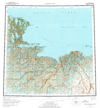
1955 Map of Harrison Bay
USGS Topo · Published 1961About this map
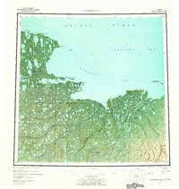
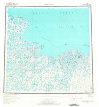
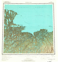
The Colville River delta dominates this mid-century coastal survey, revealing an intricate network of waterways including the Nechelik Channel and Kupigruak Channel that flow into Harrison Bay. The landscape is a mosaic of tundra and water, punctuated by landmarks like Kachemach Mound and Pikogik Mound. Evidence of early Arctic commerce and settlement is found at the Esook Trading Post (Aban'd) near Pogik Bay, and a remote Cabin situated near Cape Halkett. Large portions of the territory are designated as Naval Petroleum Reserve No 4, highlighting the region's strategic and industrial importance. From the massive Teshekpuk Lake to the offshore Eskimo Islands, the map records a wilderness state before significant modern infrastructure reached these northern reaches of the Beaufort Sea.
Find a feature on this map
55 named features on this map. Tap any name to fly to it.
Don’t see what you’re looking for? This feature index may not catch every label — zoom into the map to look around manually.
Map Details
Editions of this 1955 Harrison Bay Map
8 editions found
Other maps of this area

1951 · Harrison Bay
USGS Topo · 1:250,000

1951 · Beechey Point
USGS Topo · 1:250,000

1951 · Sagavanirktok D-5
USGS Topo · 1:250,000

1951 · Teshekpuk
USGS Topo · 1:250,000

1951 · Ikpikpuk River
USGS Topo · 1:250,000

1952 · Umiat
USGS Topo · 1:250,000

1955 · Beechey Point
USGS Topo · 1:250,000

1955 · Teshekpuk
USGS Topo · 1:250,000

1955 · Harrison Bay A-4
USGS Topo · 1:63,360

1955 · Teshekpuk A-1
USGS Topo · 1:63,360