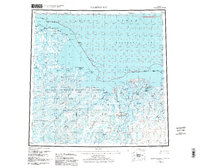
1955 Map of Harrison Bay
USGS Topo · Published 1984About this map
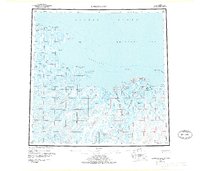
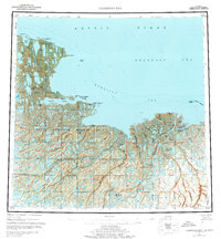
Harrison Bay and the northern coastline of the North Slope Borough are shown here as they appeared during a period of transition in the mid-20th century. The landscape is dominated by the intricate hydrology of the Colville River delta and the vast expanse of the National Petroleum Reserve in Alaska. This map records the early industrial footprint on the tundra, specifically the emergence of the Kuparuk Oil Field in the east and scattered Oil Wells farther north.
Find a feature on this map
48 named features on this map. Tap any name to fly to it.
Don’t see what you’re looking for? This feature index may not catch every label — zoom into the map to look around manually.
Map Details
Editions of this 1955 Harrison Bay Map
8 editions found
Other maps of this area

1951 · Harrison Bay
USGS Topo · 1:250,000

1951 · Beechey Point
USGS Topo · 1:250,000

1951 · Sagavanirktok D-5
USGS Topo · 1:250,000

1951 · Teshekpuk
USGS Topo · 1:250,000

1951 · Ikpikpuk River
USGS Topo · 1:250,000

1952 · Umiat
USGS Topo · 1:250,000

1955 · Harrison Bay
USGS Topo · 1:250,000

1955 · Beechey Point
USGS Topo · 1:250,000

1955 · Teshekpuk
USGS Topo · 1:250,000

1955 · Harrison Bay A-4
USGS Topo · 1:63,360