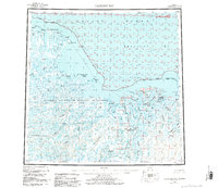
1955 Map of Harrison Bay
USGS Topo · Published 1984About this map
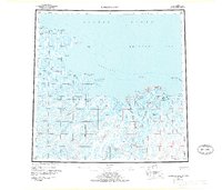
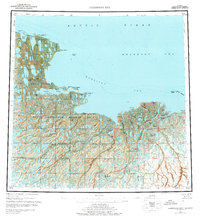
Esook Trading Post and the village of Nuiqsut stand as primary landmarks along this stretch of the Beaufort Sea coast, where the vast National Petroleum Reserve in Alaska dominates the western interior. This mid-century survey, updated through the early 1980s, reveals a landscape defined by an intricate delta system where the Colville River and Kuparuk River meet the Arctic Ocean. Local topography is characterized by subtle features such as Kachemach Mound and Pikonik Mound, which rise above the surrounding wetlands and braided channels like Kupigruak Channel. The map documents early industrial and logistical footprints in the region, including a Landing Strip and an Oil Well, juxtaposed with traditional geographical markers like Atigaru Pt and the Eskimo Islands.
Find a feature on this map
43 named features on this map. Tap any name to fly to it.
Don’t see what you’re looking for? This feature index may not catch every label — zoom into the map to look around manually.
Map Details
Editions of this 1955 Harrison Bay Map
8 editions found
Other maps of this area

1951 · Harrison Bay
USGS Topo · 1:250,000

1951 · Beechey Point
USGS Topo · 1:250,000

1951 · Sagavanirktok D-5
USGS Topo · 1:250,000

1951 · Teshekpuk
USGS Topo · 1:250,000

1951 · Ikpikpuk River
USGS Topo · 1:250,000

1952 · Umiat
USGS Topo · 1:250,000

1955 · Harrison Bay
USGS Topo · 1:250,000

1955 · Beechey Point
USGS Topo · 1:250,000

1955 · Teshekpuk
USGS Topo · 1:250,000

1955 · Harrison Bay A-4
USGS Topo · 1:63,360