
1955 Map of Teshekpuk A-1
USGS Topo · Published 1964About this map
Pik Dunes and a labyrinth of thaw lakes define this Arctic landscape, mapped by the Army Map Service during a mid-century period of heightened interest in the region's resources. The entire area lies within the original boundaries of Naval Petroleum Reserve No. 4, a designation that influenced much of the early surveying in this part of the North Slope. A solitary Tractor Trail provides the only evidence of overland transit through this water-rich terrain, winding past unnamed basins toward the drainage of Inicok Creek. The map reflects a moment when the Bureau of Land Management was predetermining land lines for unsurveyed territory, creating a grid of township and range boundaries over a wilderness dominated by permafrost-driven geography and migrating dunes.
Find a feature on this map
8 named features on this map. Tap any name to fly to it.
Don’t see what you’re looking for? This feature index may not catch every label — zoom into the map to look around manually.
Map Details
Editions of this 1955 Teshekpuk A-1 Map
This is the sole edition of this map. No revisions or reprints were ever made.
Other maps of this area

1951 · Harrison Bay
USGS Topo · 1:250,000

1951 · Teshekpuk
USGS Topo · 1:250,000

1951 · Ikpikpuk River
USGS Topo · 1:250,000

1952 · Umiat
USGS Topo · 1:250,000

1955 · Harrison Bay
USGS Topo · 1:250,000

1955 · Teshekpuk
USGS Topo · 1:250,000
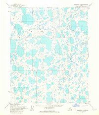
1955 · Teshekpuk A-2
USGS Topo · 1:63,360
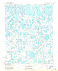
1955 · Teshekpuk B-2
USGS Topo · 1:63,360

1955 · Teshekpuk B-1
USGS Topo · 1:63,360

1955 · Harrison Bay B-5
USGS Topo · 1:63,360