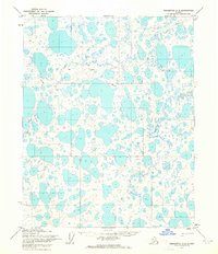
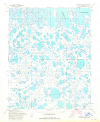
1955 Map of Teshekpuk A-2
USGS Topo · Published 1964About this map
The Arctic coastal plain within Naval Petroleum Reserve No 4 is defined by a dense mosaic of thaw lakes and ponds as it appeared in the mid-1950s. This land, mapped by the Army Map Service using photogrammetric methods from 1955 aerial photography, shows a landscape nearly devoid of permanent human structures, yet marked by the ephemeral tracks of a Tractor Trail winding through the tundra. These trails were critical arteries for exploration and transport across the permafrost, connecting isolated terrain features such as Bess, Gisk, and Flo. The map records a moment before significant modern industrial footprint, where the primary infrastructure consisted of these overland routes and the natural drainage patterns of the North Slope.
Find a feature on this map
8 named features on this map. Tap any name to fly to it.
Don’t see what you’re looking for? This feature index may not catch every label — zoom into the map to look around manually.
Map Details
Editions of this 1955 Teshekpuk A-2 Map
2 editions found
Other maps of this area

1951 · Teshekpuk
USGS Topo · 1:250,000

1951 · Ikpikpuk River
USGS Topo · 1:250,000

1955 · Teshekpuk
USGS Topo · 1:250,000
1955 · Teshekpuk A-3
USGS Topo · 1:63,360
1955 · Teshekpuk B-3
USGS Topo · 1:63,360

1955 · Teshekpuk A-1
USGS Topo · 1:63,360
1955 · Teshekpuk B-2
USGS Topo · 1:63,360

1955 · Teshekpuk B-1
USGS Topo · 1:63,360

1956 · Ikpikpuk River
USGS Topo · 1:250,000

1964 · Teshekpuk
USGS Topo · 1:250,000