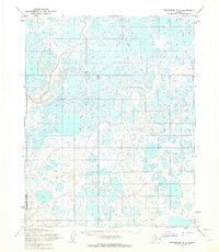
1955 Map of Teshekpuk B-3
USGS Topo · Published 1964About this map
The Ikpikpuk River defines the western edge of this vast Arctic landscape on the North Slope, where the terrain is dominated by a dense network of lakes and thaw ponds. This 1955 survey illustrates the remote character of Naval Petroleum Reserve No. 4, an area set aside for its potential energy resources. The map captures a moment when human presence was extremely sparse, evidenced by the single Tractor Trail cutting through the northeast corner. Because the land lines shown represent unsurveyed and unmarked locations predetermined by the Bureau of Land Management, the map serves as a primary record of the natural hydrology and drainage patterns before further modern exploration. It is a critical document for understanding the physical state of the Alaskan tundra during the mid-twentieth century.
Find a feature on this map
3 named features on this map. Tap any name to fly to it.
Don’t see what you’re looking for? This feature index may not catch every label — zoom into the map to look around manually.
Map Details
Editions of this 1955 Teshekpuk B-3 Map
2 editions found
Other maps of this area

1951 · Teshekpuk
USGS Topo · 1:250,000

1955 · Teshekpuk
USGS Topo · 1:250,000
1955 · Teshekpuk B-4
USGS Topo · 1:63,360
1955 · Teshekpuk A-2
USGS Topo · 1:63,360
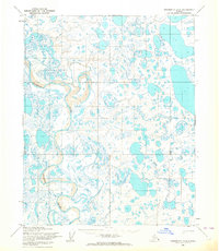
1955 · Teshekpuk A-3
USGS Topo · 1:63,360

1955 · Teshekpuk C-3
USGS Topo · 1:63,360
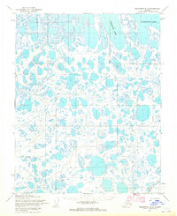
1955 · Teshekpuk B-2
USGS Topo · 1:63,360

1955 · Teshekpuk C-4
USGS Topo · 1:63,360
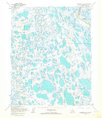
1955 · Teshekpuk A-4
USGS Topo · 1:63,360
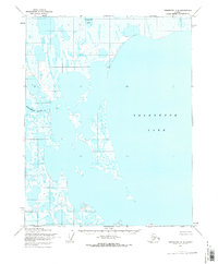
1955 · Teshekpuk C-2
USGS Topo · 1:63,360