
1955 Map of Teshekpuk C-3
USGS Topo · Published 1964About this map
Ikpikpuk River and the Miguakiak River wind through a complex hydrological landscape defined by countless thaw lakes and basins in this mid-century survey. Located entirely within Naval Petroleum Reserve No. 4, this region represents a vast, unsurveyed wilderness where land lines indicate predetermined but unmarked locations according to the Bureau of Land Management. The terrain is largely dominated by water, with large lakes connected by smaller channels and the braided paths of the primary rivers. A solitary Winter Trail provides the only recorded evidence of overland transit, cutting across the western portion of the quadrangle. This path reflects the seasonal nature of travel in the Arctic, where frozen ground and ice were necessary for movement across the saturated tundra. The map serves as a record of the territorial North Slope before modern development, focused primarily on the natural drainage patterns and the administrative boundaries of the petroleum reserve.
Find a feature on this map
7 named features on this map. Tap any name to fly to it.
Don’t see what you’re looking for? This feature index may not catch every label — zoom into the map to look around manually.
Map Details
Editions of this 1955 Teshekpuk C-3 Map
This is the sole edition of this map. No revisions or reprints were ever made.
Other maps of this area

1951 · Teshekpuk
USGS Topo · 1:250,000

1955 · Teshekpuk
USGS Topo · 1:250,000
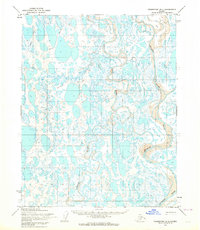
1955 · Teshekpuk B-4
USGS Topo · 1:63,360
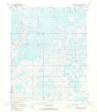
1955 · Teshekpuk B-3
USGS Topo · 1:63,360
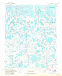
1955 · Teshekpuk B-2
USGS Topo · 1:63,360

1955 · Teshekpuk C-4
USGS Topo · 1:63,360
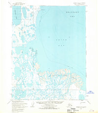
1955 · Teshekpuk D-3
USGS Topo · 1:63,360

1955 · Teshekpuk D-4
USGS Topo · 1:63,360
1955 · Teshekpuk C-2
USGS Topo · 1:63,360
1955 · Teshekpuk D-2
USGS Topo · 1:63,360