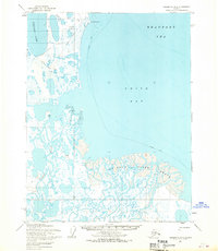
1955 Map of Teshekpuk D-3
USGS Topo · Published 1970About this map
The Ikpikpuk River Delta dominates this coastal survey, where the river branches into a complex network of channels and marshlands before emptying into Smith Bay. This 1955 era terrain, situated entirely within Naval Petroleum Reserve No. 4, reflects early mid-century resource exploration along the northern coast. Evidence of this activity is visible through scattered Drill Holes, an Oil Seep, and a series of Tractor Trails that crisscross the tundra near Cape Simpson. Small isolated points of interest like Cabin Rose and named markers such as Shirley and Smith appear within the delta, suggesting temporary outposts or survey points. To the west, the large expanse of Sinclair Lake sits just inland from the Beaufort Sea, connected to the broader landscape by a dedicated Winter Trail that underscores the seasonal nature of travel in this Arctic environment.
Find a feature on this map
21 named features on this map. Tap any name to fly to it.
Don’t see what you’re looking for? This feature index may not catch every label — zoom into the map to look around manually.
Map Details
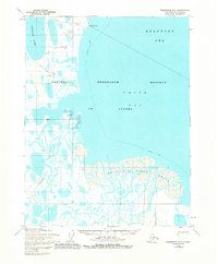
Editions of this 1955 Teshekpuk D-3 Map
2 editions found
Other maps of this area

1945 · Barrow
USGS Topo · 1:250,000

1949 · Barrow
USGS Topo · 1:250,000

1951 · Teshekpuk
USGS Topo · 1:250,000

1955 · Barrow
USGS Topo · 1:250,000

1955 · Teshekpuk
USGS Topo · 1:250,000

1955 · Teshekpuk C-3
USGS Topo · 1:63,360

1955 · Teshekpuk C-4
USGS Topo · 1:63,360
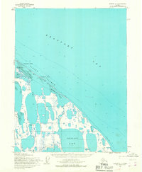
1955 · Barrow A-1
USGS Topo · 1:63,360

1955 · Teshekpuk D-4
USGS Topo · 1:63,360
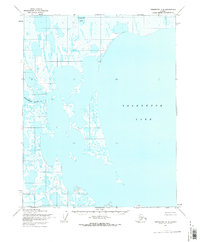
1955 · Teshekpuk C-2
USGS Topo · 1:63,360