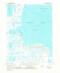
1955 Map of Teshekpuk D-3
USGS Topo · Published 1982About this map
The Ikpikpuk River Delta dominates this coastal landscape on the edge of the Beaufort Sea. Situated within the National Petroleum Reserve in Alaska, the map documents early industrial exploration during the mid-1950s. The presence of numerous drill holes, an Oil Seep, and a Barrel Drill Hole near Cape Simpson indicates the intensity of resource surveying at this time.
Find a feature on this map
23 named features on this map. Tap any name to fly to it.
Don’t see what you’re looking for? This feature index may not catch every label — zoom into the map to look around manually.
Map Details
Editions of this 1955 Teshekpuk D-3 Map
2 editions found
Other maps of this area

1945 · Barrow
USGS Topo · 1:250,000

1949 · Barrow
USGS Topo · 1:250,000

1951 · Teshekpuk
USGS Topo · 1:250,000

1955 · Barrow
USGS Topo · 1:250,000

1955 · Teshekpuk
USGS Topo · 1:250,000

1955 · Teshekpuk C-3
USGS Topo · 1:63,360

1955 · Teshekpuk C-4
USGS Topo · 1:63,360
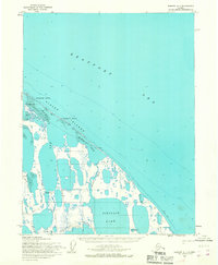
1955 · Barrow A-1
USGS Topo · 1:63,360
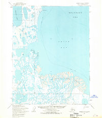
1955 · Teshekpuk D-3
USGS Topo · 1:63,360

1955 · Teshekpuk D-4
USGS Topo · 1:63,360