
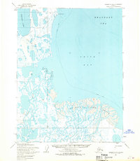
1955 Map of Teshekpuk C-4
USGS Topo · Published 1965About this map
Alaktak River meanders through an intricate landscape of unnamed lakes and wetlands in this 1955 survey of the Arctic coastal plain. The entire quadrangle is situated within Naval Petroleum Reserve No. 4, representing a period of significant government interest in northern mineral and oil resources. Transport across this saturated terrain relied on seasonal pathways, visible here as the Winter Trail and a Tractor Trail that cut across the tundra. The drainage systems of the Chipp River and the Ikpikpuk River dominate the southern and western portions of the sheet, illustrating the complex hydrology of the North Slope before extensive modern development. This topography, mapped by the Army Map Service using photogrammetric methods, records the primitive transit routes used to navigate one of the most remote sections of the American Arctic.
Find a feature on this map
5 named features on this map. Tap any name to fly to it.
Don’t see what you’re looking for? This feature index may not catch every label — zoom into the map to look around manually.
Map Details
Editions of this 1955 Teshekpuk C-4 Map
This is the sole edition of this map. No revisions or reprints were ever made.
Other maps of this area

1951 · Teshekpuk
USGS Topo · 1:250,000

1955 · Teshekpuk
USGS Topo · 1:250,000
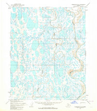
1955 · Teshekpuk B-4
USGS Topo · 1:63,360
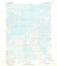
1955 · Teshekpuk B-3
USGS Topo · 1:63,360

1955 · Teshekpuk C-3
USGS Topo · 1:63,360

1955 · Teshekpuk C-5
USGS Topo · 1:63,360
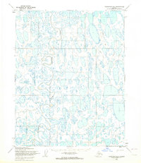
1955 · Teshekpuk B-5
USGS Topo · 1:63,360
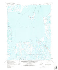
1955 · Teshekpuk D-5
USGS Topo · 1:63,360
1955 · Teshekpuk D-3
USGS Topo · 1:63,360

1955 · Teshekpuk D-4
USGS Topo · 1:63,360