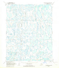
1955 Map of Teshekpuk B-5
USGS Topo · Published 1965About this map
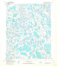
The Topagoruk River meanders through an intricate landscape of permafrost lakes and marshland in this 1955 survey of the Arctic Coastal Plain. Situated entirely within Naval Petroleum Reserve No. 4, the map reveals a wilderness shaped by extreme hydrology and early resource exploration. Localized landmarks like Lue, Topa, and Clay appear alongside an extensive Tractor Trail that cuts across the lake-dotted terrain. This network of trails is a primary indicator of mid-century activity in the region, likely supporting geological and petroleum surveys conducted by the Army Map Service and the Geological Survey. The dense concentration of water bodies illustrates the saturated nature of the North Slope during the brief thaw season, providing a detailed record of the physical geography before modern infrastructure or name changes affected this remote Alaskan interior.
Find a feature on this map
6 named features on this map. Tap any name to fly to it.
Don’t see what you’re looking for? This feature index may not catch every label — zoom into the map to look around manually.
Map Details
Editions of this 1955 Teshekpuk B-5 Map
2 editions found
Other maps of this area

1951 · Meade River
USGS Topo · 1:250,000

1951 · Teshekpuk
USGS Topo · 1:250,000

1955 · Teshekpuk
USGS Topo · 1:250,000
1955 · Teshekpuk B-4
USGS Topo · 1:63,360

1955 · Teshekpuk C-5
USGS Topo · 1:63,360

1955 · Teshekpuk C-4
USGS Topo · 1:63,360
1955 · Teshekpuk A-5
USGS Topo · 1:63,360
1955 · Teshekpuk A-4
USGS Topo · 1:63,360

1955 · Meade River
USGS Topo · 1:250,000

1955 · Meade River B-1
USGS Topo · 1:63,360