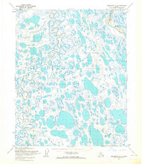
1955 Map of Teshekpuk A-4
USGS Topo · Published 1965About this map
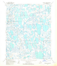
Oumalik River meanders through an immense network of thaw lakes and wetlands in this 1955 topographic study of the North Slope. The landscape is defined by thousands of oriented thermokarst lakes, most unnamed, which dominate the surface drainage within the Ikpikpuk River basin. At the time of this survey, the entire area was designated as part of Naval Petroleum Reserve No 4, reflecting the mid-century strategic interest in Arctic energy resources. Human presence is incredibly sparse, marked only by a long Tractor Trail that cuts across the southern portion of the quadrangle. This trail represents the primary method of overland transport during this era, when heavy machinery moved across the frozen tundra to support geological exploration and mapping efforts.
Find a feature on this map
3 named features on this map. Tap any name to fly to it.
Don’t see what you’re looking for? This feature index may not catch every label — zoom into the map to look around manually.
Map Details
Editions of this 1955 Teshekpuk A-4 Map
This is the sole edition of this map. No revisions or reprints were ever made.
Other maps of this area

1951 · Teshekpuk
USGS Topo · 1:250,000

1951 · Ikpikpuk River
USGS Topo · 1:250,000

1955 · Teshekpuk
USGS Topo · 1:250,000
1955 · Teshekpuk B-4
USGS Topo · 1:63,360
1955 · Teshekpuk A-3
USGS Topo · 1:63,360
1955 · Teshekpuk B-3
USGS Topo · 1:63,360
1955 · Teshekpuk A-5
USGS Topo · 1:63,360
1955 · Teshekpuk B-5
USGS Topo · 1:63,360

1956 · Ikpikpuk River
USGS Topo · 1:250,000

1964 · Teshekpuk
USGS Topo · 1:250,000