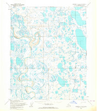
1955 Map of Teshekpuk A-3
USGS Topo · Published 1964About this map
Ikpikpuk River winds through the lake-strewn plains of the North Slope in this 1955 survey, showing a landscape defined by water and permafrost. The entire region is contained within Naval Petroleum Reserve No 4, reflecting the strategic federal interest in the Arctic during the mid-20th century. While the terrain is dominated by unnamed tundra lakes and marshes, the presence of a Tractor Trail cutting through the eastern portion of the quadrangle suggests the early mechanized routes used for exploration and logistics in this remote environment. Aside from a single identified Mound, the map reveals a land largely devoid of permanent settlements, focused instead on the natural hydrology and the predetermined survey lines established by the Bureau of Land Management.
Find a feature on this map
4 named features on this map. Tap any name to fly to it.
Don’t see what you’re looking for? This feature index may not catch every label — zoom into the map to look around manually.
Map Details
Editions of this 1955 Teshekpuk A-3 Map
2 editions found
Other maps of this area

1951 · Teshekpuk
USGS Topo · 1:250,000

1951 · Ikpikpuk River
USGS Topo · 1:250,000

1955 · Teshekpuk
USGS Topo · 1:250,000
1955 · Teshekpuk B-4
USGS Topo · 1:63,360
1955 · Teshekpuk A-2
USGS Topo · 1:63,360
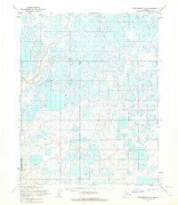
1955 · Teshekpuk B-3
USGS Topo · 1:63,360
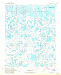
1955 · Teshekpuk B-2
USGS Topo · 1:63,360
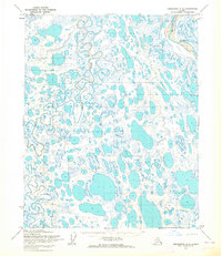
1955 · Teshekpuk A-4
USGS Topo · 1:63,360

1956 · Ikpikpuk River
USGS Topo · 1:250,000

1964 · Teshekpuk
USGS Topo · 1:250,000