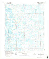
1955 Map of Teshekpuk A-3
USGS Topo · Published 1978About this map
Ikpikpuk River meanders across this expansive Arctic landscape, which was documented during mid-century aerial surveys. This mapping effort by the Army Map Service and the Geological Survey focuses on a segment of the North Slope designated as Naval Petroleum Reserve No 4. The terrain is characterized by a dense network of lakes and ponds typical of the coastal plain, with a prominent natural Mound providing a rare vertical landmark in the otherwise low-lying tundra. Human activity in this 1950s era is marked primarily by a Tractor Trail that cuts through the wilderness, representing the vital overland transport routes used for exploration and resource assessment in this remote region.
Find a feature on this map
3 named features on this map. Tap any name to fly to it.
Don’t see what you’re looking for? This feature index may not catch every label — zoom into the map to look around manually.
Map Details
Editions of this 1955 Teshekpuk A-3 Map
2 editions found
Other maps of this area

1951 · Teshekpuk
USGS Topo · 1:250,000

1951 · Ikpikpuk River
USGS Topo · 1:250,000

1955 · Teshekpuk
USGS Topo · 1:250,000
1955 · Teshekpuk B-4
USGS Topo · 1:63,360
1955 · Teshekpuk A-2
USGS Topo · 1:63,360
1955 · Teshekpuk A-3
USGS Topo · 1:63,360
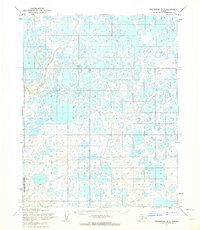
1955 · Teshekpuk B-3
USGS Topo · 1:63,360
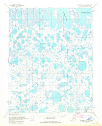
1955 · Teshekpuk B-2
USGS Topo · 1:63,360
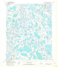
1955 · Teshekpuk A-4
USGS Topo · 1:63,360

1956 · Ikpikpuk River
USGS Topo · 1:250,000