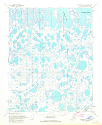
1955 Map of Teshekpuk B-2
USGS Topo · Published 1965About this map
Teshekpuk Lake dominates the northern horizon of this Arctic coastal plain, where a dense network of thaw lakes and wetlands defines the landscape. Mapped by the Army Map Service using aerial photography from the mid-1950s, the terrain shows the logistical patterns of the Naval Petroleum Reserve No. 4. Transport across this saturated ground relied on specialized routes, such as the Tractor Tr and the Winter Trail, which provided essential corridors for movement when the ground was frozen. Scattered across the expanse are several named landmarks including Helen, Pat, Edna, Rice, Grace, and Draw, which likely served as survey points or temporary navigational markers for field crews. In the southeast, Kealok Creek meanders through the tundra, representing one of the few named drainage systems in this water-saturated region.
Find a feature on this map
11 named features on this map. Tap any name to fly to it.
Don’t see what you’re looking for? This feature index may not catch every label — zoom into the map to look around manually.
Map Details
Editions of this 1955 Teshekpuk B-2 Map
2 editions found
Other maps of this area

1951 · Teshekpuk
USGS Topo · 1:250,000

1955 · Teshekpuk
USGS Topo · 1:250,000
1955 · Teshekpuk A-2
USGS Topo · 1:63,360
1955 · Teshekpuk A-3
USGS Topo · 1:63,360
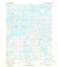
1955 · Teshekpuk B-3
USGS Topo · 1:63,360

1955 · Teshekpuk C-3
USGS Topo · 1:63,360

1955 · Teshekpuk A-1
USGS Topo · 1:63,360

1955 · Teshekpuk B-1
USGS Topo · 1:63,360
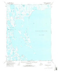
1955 · Teshekpuk C-2
USGS Topo · 1:63,360
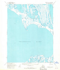
1955 · Teshekpuk C-1
USGS Topo · 1:63,360