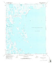
1955 Map of Teshekpuk C-2
USGS Topo · Published 1970About this map
Teshekpuk Lake dominates this Arctic landscape, its massive expanse and intricate, fragmented shoreline defining the region's geography. Published during the mid-century, the map records a wilderness of thaw lakes and braided drainage patterns within the Naval Petroleum Reserve No. 4. The complex hydrology is anchored by the Miguakiak River, which winds through a dense network of smaller bodies of water like Imakruak Lake. This 1955 survey captures the North Slope before significant modern infrastructure reached these latitudes, showing an environment shaped entirely by permafrost and seasonal changes. The absence of roads or permanent structures reflects the extreme isolation of the area during the early Cold War era of resource exploration.
Find a feature on this map
7 named features on this map. Tap any name to fly to it.
Don’t see what you’re looking for? This feature index may not catch every label — zoom into the map to look around manually.
Map Details
Editions of this 1955 Teshekpuk C-2 Map
This is the sole edition of this map. No revisions or reprints were ever made.
Other maps of this area

1951 · Teshekpuk
USGS Topo · 1:250,000

1955 · Teshekpuk
USGS Topo · 1:250,000
1955 · Teshekpuk B-3
USGS Topo · 1:63,360

1955 · Teshekpuk C-3
USGS Topo · 1:63,360
1955 · Teshekpuk B-2
USGS Topo · 1:63,360

1955 · Teshekpuk B-1
USGS Topo · 1:63,360
1955 · Teshekpuk D-3
USGS Topo · 1:63,360

1955 · Teshekpuk D-1
USGS Topo · 1:63,360
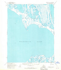
1955 · Teshekpuk C-1
USGS Topo · 1:63,360
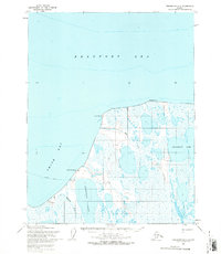
1955 · Teshekpuk D-2
USGS Topo · 1:63,360