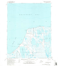
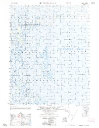
1955 Map of Teshekpuk D-2
USGS Topo · Published 1970About this map
Smith Bay and the icy reaches of the Beaufort Sea dominate this mid-century coastal survey of Alaska's North Slope. The landscape is a complex network of thaw lakes and coastal points, including McLeod Point and Drew Point, which define the shoreline where the tundra meets the Arctic waters. This region was part of the Naval Petroleum Reserve No. 4, reflecting the era's strategic and industrial interests in northern resource exploration.
Find a feature on this map
17 named features on this map. Tap any name to fly to it.
Don’t see what you’re looking for? This feature index may not catch every label — zoom into the map to look around manually.
Map Details
Editions of this 1955 Teshekpuk D-2 Map
This is the sole edition of this map. No revisions or reprints were ever made.
Other maps of this area

1951 · Teshekpuk
USGS Topo · 1:250,000

1955 · Teshekpuk
USGS Topo · 1:250,000

1955 · Teshekpuk C-3
USGS Topo · 1:63,360
1955 · Teshekpuk D-3
USGS Topo · 1:63,360

1955 · Teshekpuk D-1
USGS Topo · 1:63,360
1955 · Teshekpuk C-2
USGS Topo · 1:63,360
1955 · Teshekpuk C-1
USGS Topo · 1:63,360
1962 · Teshekpuk C-2
USGS Topo · 1:50,000

1964 · Teshekpuk
USGS Topo · 1:250,000
2013 · Teshekpuk C-2 NE
USGS Topo · 1:25,000