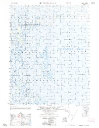
1962 Map of Teshekpuk C-2
USGS Topo · Published 1962About this map
The vast shoreline of Teshekpuk Lake dominates the eastern portion of this Arctic landscape, where the waters of the Miguakiak River flow through the low-lying tundra. This coastal plain environment is largely defined by its administrative status as part of the Naval Petroleum Reserve No 4, reflecting the mid-century strategic importance of the North Slope's natural resources. Surveyed by the Army Map Service in the 1950s using photogrammetric methods, the map documents a remote territory with minimal human infrastructure. Local relief is meticulously recorded through benchmark points such as Vabm 18, Vabm 24, and Bm 792, which provided essential horizontal and vertical control for early military and geological exploration of the Alaskan wilderness.
Find a feature on this map
7 named features on this map. Tap any name to fly to it.
Don’t see what you’re looking for? This feature index may not catch every label — zoom into the map to look around manually.
Map Details
Editions of this 1962 Teshekpuk C-2 Map
This is the sole edition of this map. No revisions or reprints were ever made.
Other maps of this area

1951 · Teshekpuk
USGS Topo · 1:250,000

1955 · Teshekpuk
USGS Topo · 1:250,000
1955 · Teshekpuk B-3
USGS Topo · 1:63,360

1955 · Teshekpuk C-3
USGS Topo · 1:63,360
1955 · Teshekpuk B-2
USGS Topo · 1:63,360

1955 · Teshekpuk B-1
USGS Topo · 1:63,360
1955 · Teshekpuk D-3
USGS Topo · 1:63,360

1955 · Teshekpuk D-1
USGS Topo · 1:63,360
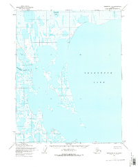
1955 · Teshekpuk C-2
USGS Topo · 1:63,360
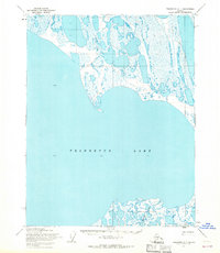
1955 · Teshekpuk C-1
USGS Topo · 1:63,360