
1955 Map of Teshekpuk D-1
USGS Topo · Published 1970About this map
The Smith River meanders toward the Beaufort Sea in this mid-century survey of the Arctic coastline. The landscape is a mosaic of thaw lakes and coastal inlets, where the massive Naluakruk Lake and Okalik Lake dominate the interior tundra. Human presence is sparse and specialized, marked by the remote settlement of Kokruagarok and the abandoned site at Kolovik (Aban'd) on the edge of Avatanak Bight.
Find a feature on this map
27 named features on this map. Tap any name to fly to it.
Don’t see what you’re looking for? This feature index may not catch every label — zoom into the map to look around manually.
Map Details
Editions of this 1955 Teshekpuk D-1 Map
This is the sole edition of this map. No revisions or reprints were ever made.
Other maps of this area

1951 · Harrison Bay
USGS Topo · 1:250,000

1951 · Teshekpuk
USGS Topo · 1:250,000

1955 · Harrison Bay
USGS Topo · 1:250,000

1955 · Teshekpuk
USGS Topo · 1:250,000

1955 · Harrison Bay C-5
USGS Topo · 1:63,360

1955 · Harrison Bay D-5
USGS Topo · 1:63,360
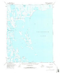
1955 · Teshekpuk C-2
USGS Topo · 1:63,360
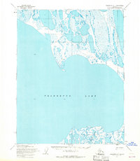
1955 · Teshekpuk C-1
USGS Topo · 1:63,360
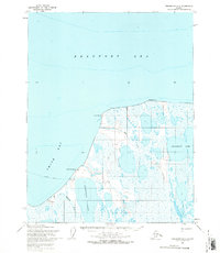
1955 · Teshekpuk D-2
USGS Topo · 1:63,360

1962 · Harrison Bay C-5
USGS Topo · 1:50,000